Welcome to Waymap News
Here, we share current news and exciting new developments.

All Our Articles

accessible-public-transport

Accessible Public Transport: A Practical Roadmap

A practical roadmap to accessible public transport for agencies and venues, covering audits, design, training, tech and KPIs.

motion-sensor-app

Motion Sensor App Guide for Indoor Navigation

Learn how a motion sensor app delivers step-accurate indoor navigation without GPS or beacons, and what it means for venues, transit, and accessibility.

inertial-navigation-system

Inertial Navigation System Guide: How INS Works

Learn how an inertial navigation system works, its sensors, accuracy limits, and smartphone-first uses for indoor wayfinding and accessibility.

passenger-information-system

Passenger Information System: A Practical Guide for 2026

Learn how a passenger information system improves transit operations, passenger experience, and real-time updates. A practical guide for operators in 2026.

navigation-without-gps

Navigation Without GPS: Methods, Trade-offs, and Real-World

Explore navigation without GPS, covering sensor fusion, dead reckoning, BLE beacons, SLAM, and how venues deploy infrastructure-free wayfinding at scale.

dynamic-digital-signage

Dynamic Digital Signage Explained for Modern Venues

Learn how dynamic digital signage improves wayfinding, accessibility, and ROI in venues and transit hubs, with practical deployment guidance and real outcomes.

equality-act-2010-requirements

Equality Act 2010 Requirements for Venues

Understand Equality Act 2010 requirements, including protected groups, reasonable adjustments, accessibility, public duties, enforcement and compliance steps.

indoor-navigation-beacons

Indoor Navigation Beacons: How They Work and When

A practitioner's guide to indoor navigation beacons covering accuracy, deployment costs, accessibility compliance, and infrastructure-free alternatives like

gps-free-navigation

GPS Free Navigation: How It Works and Why Venues Need It

Discover how GPS free navigation uses smartphone sensors and detailed maps to guide people indoors and underground. Learn the technology, use cases, and ROI

how-to-measure-cost-savings

How to Measure Cost Savings for Venues and Transit Operators

Learn how to measure cost savings accurately for venues and transit operations with a practical step-by-step framework. Covers baselines, formulas, attribution

visually-impaired-support

Visually Impaired Support: A Practical Guide for Venues

Discover how to offer effective visually impaired support in venues and transit. Learn key accessibility strategies to create an inclusive experience for all.

wayfinding-solutions

Wayfinding Solutions That Actually Work Indoors

Compare wayfinding solutions from signage to app-based navigation. See trade-offs, accessibility standards, and the procurement checklist decision-makers need.

translation-management-system

Translation Management System Guide for Venues and Transit

Learn what a translation management system is, how it works, and how venues and transit operators use it to deliver multilingual wayfinding and accessibility.

map-of-musee-d-orsay

Map of Musee D Orsay: Map of Musée d'Orsay

Map of musee d orsay - Plan your visit with this map of Musée d'Orsay guide, covering all five levels, accessible entrances and lifts for a step-free

vendor-selection-criteria

Vendor Selection Criteria: A Practical Framework

Discover essential vendor selection criteria for venues and transit in 2026. This practical framework helps you evaluate suppliers effectively.

legacy-system-replacement

Legacy System Replacement for Large Venues and Transit

A practical framework for legacy system replacement in large venues and transit networks. Covers risk prioritisation, migration strategies, and measuring ROI.

Blog Image

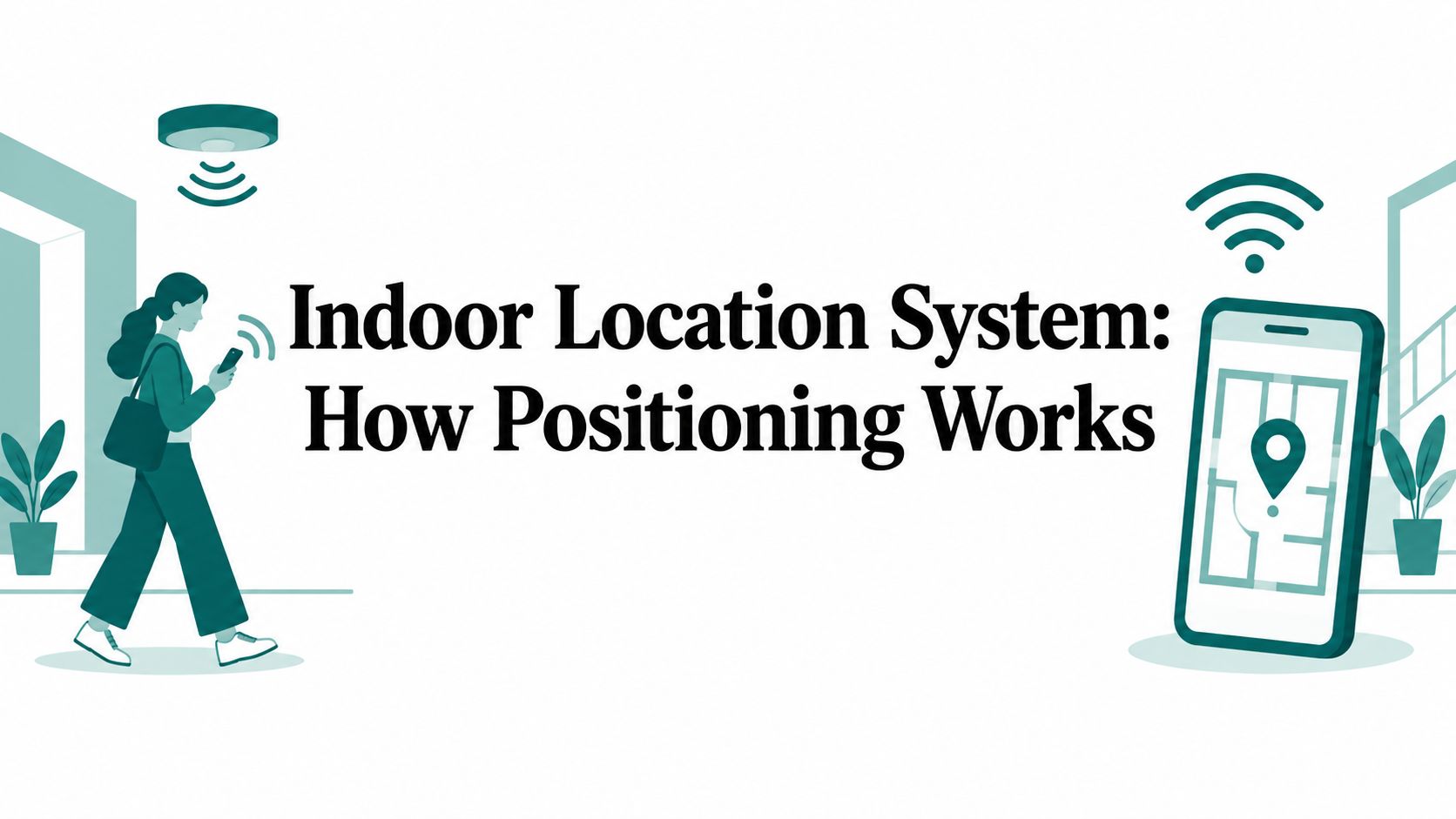
Indoor Location System: How Positioning Works

Learn how an indoor location system delivers step-accurate navigation in stations, stadiums and malls without GPS, Wi-Fi or beacons, and why operators decide

Blog Image

Indoor Positioning System: How It Works in 2026

An indoor positioning system guides visitors through GPS-free venues. Discover the technologies behind it and how they enable accessible navigation in 2026.

Blog Image

Campus Wayfinding That Actually Works: A 2026 Guide

Campus wayfinding explained for universities that want fewer wrong turns. Covers indoor and outdoor navigation, accessibility and the systems that make it work.

Blog Image

What Is Wayfinding: A Practical Guide to Indoor Navigation

What is wayfinding and why does it matter? Learn the principles, technologies, accessibility standards and real-world use cases that shape modern indoor

Blog Image

Ultra Wideband Module: What It Is and How It Works

Learn what an ultra wideband module is, how it works, and how it compares with BLE, Wi-Fi and smartphone dead reckoning for indoor positioning.

Blog Image

Blind Low Vision Navigation and Accessibility Guide

Explore blind low vision navigation challenges, UK accessibility standards, and infrastructure-free wayfinding solutions for inclusive built environments.

Blog Image

Location Positioning System: The Full Guide

Learn what a location positioning system is, how GPS, Wi‑Fi, BLE and sensor‑fusion work, and how to choose the right solution for transit, venues and campuses.

Blog Image

No Wifi Signal

No wifi signal. Discover why no Wi-Fi signal breaks indoor navigation and how infrastructure-free apps like Waymap provide reliable guidance

Blog Image

Digital Accessibility Standards: A Complete Guide

Navigate digital accessibility standards like WCAG, ADA, and EN rules. Learn how Waymap helps venues and transit operators meet compliance and ESG goals.

Blog Image

Airport Terminal Signage That Actually Works

Practical guide to airport terminal signage — zoning, accessibility, dynamic wayfinding and metrics for operators who want fewer missed flights and better PRM

Blog Image

Airport Signage Standards: Reference Guide 2026

Complete airport signage standards reference covering UK CAA requirements, tactile specs, accessibility regulations, and digital wayfinding solutions for 2026.

Blog Image

Indoor Navigation SDK: A Practical UK Procurement Guide

How to choose an indoor navigation SDK for UK venues, transit, and campuses. Covers accuracy, sensor fusion, privacy, accessibility, and deployment.

Blog Image

Digital Signage Management for Large Venues: A 2026 Guide

Digital signage management for stadiums, transit hubs and campuses. Covers content ops, accessibility, ESG and selection criteria for venue managers in 2026.

Blog Image

Outdoor Wayfinding Signs: A Complete Guide for 2026

Learn everything about outdoor wayfinding signs for 2026 — from design and materials to placement and digital integration. Boost navigation and brand

Blog Image

WCAG Accessibility Standards: Complete Guide for 2026

Understand WCAG accessibility standards, from core principles and compliance levels to testing methods and legal requirements for venues and transit operators.

Blog Image

Wayfinder Digital Signage for Accessible Venues

Discover how wayfinder digital signage transforms venue navigation. Compare static signs with dynamic, infrastructure-free routing

Blog Image

Waymap Is Now Live at Singapore's Largest Public Library

Large public libraries are built for everyone. Now, every visitor to Punggol Regional Library can navigate one independently — with step-by-step audio guidance powered by Waymap's infrastructure-free SmartStep™ technology.

Blog Image

Internet of Things Smart Buildings: The Ultimate Guide 2026

Discover internet of things smart buildings. Learn about architecture, use cases, ESG benefits, and efficient navigation for venues and transit hubs.

VENUES

Make your space smarter  
and more accessible

Discover how Waymap reduces upkeep, boosts visitor satisfaction, and elevates your ESG credentials.

USERS

Confident navigation,
every step of the way

Waymap adapts to your walking style and personal preferences, guiding you reliably to your destination — whether platform, door, or store.

Arrow pointing up