
Map of Musee D Orsay: Map of Musée d'Orsay
You're standing beneath the great central clock of the Musée d'Orsay, trying to decide whether the gallery you want is above you or below you. A printed floor plan shows rooms, but it doesn't tell you which lift avoids a staircase, whether the nearest entrance works for a wheelchair, or how much effort a route through this former railway station will require. A practical map of Musée d'Orsay must answer those questions before the visit becomes tiring or confusing.
Opened in 1986 inside the former 1900 Gare d'Orsay, the museum is one of France's major art institutions. It recorded 3,871,498 visitors in 2023, an increase of 18% from 2022 and 6% above 2019 levels, then welcomed 3,751,141 visitors in 2024. The wider Orsay-Orangerie institution received 4,949,835 visitors in 2024. Official 2024 attendance figures show why orientation matters, particularly for international visitors. The UK accounted for 4.2% of the museum's foreign visitors in 2024, behind the United States at 11.5% and Italy at 6.9%.
The key planning mistake is to treat the museum as a flat plan. It spans five levels, so the useful route is defined by lifts, stairs, doorways, queues, seating and changes in elevation as much as by gallery position. The sections below focus on the official visitor map, the floor-by-floor arrangement, step-free access and the limits of ordinary digital mapping.
Why a Detailed Map of Musée d'Orsay Changes Your Visit
The first few minutes inside the Musée d'Orsay can overwhelm even confident navigators. The building's monumental station architecture creates a strong visual centre, but the collections branch away from it across several levels. A visitor looking for Impressionist paintings may need to climb, change direction and identify the correct lift or stair core before reaching the right gallery.
That makes a map of Musée d'Orsay more than a souvenir or downloadable PDF. It's a decision tool. A conventional plan answers, “Where is this room?” A usable navigation map also answers, “Which entrance should I use, which level change is accessible, and where can I pause if the route becomes demanding?”
Why the building needs vertical planning
The museum's history explains some of its navigation difficulty. The current galleries occupy a former Beaux-Arts railway station built for the Exposition Universelle. Its generous central volume, long sightlines and layered circulation are visually impressive, but they don't function like a simple modern gallery block. The museum's official plan shows the importance of lifts, stairs and route connections between collections.
The scale has operational consequences. Attendance rose from about 2.13 million in 2002 to 3.65 million in 2019, then recovered to nearly 3.9 million in 2023, according to the museum's historical visitor context. Independent documentation also records more than 3.2 million visitors in 2022. Those figures describe a heavily used building where a small wrong turn can become a long detour once galleries and lift areas fill.
Practical rule: Choose the route before you choose the artwork sequence. For many visitors, the best order is determined by energy, access and crowd movement first.
What a useful map should show
A reliable plan should identify:
- Collection areas, grouped by level rather than listed as isolated rooms.
- Lift locations, including the lifts that provide step-free movement.
- Accessible entrances, toilets, cloakroom facilities and places to rest.
- Stairs and bottlenecks, so visitors can avoid routes that depend on them.
- A route sequence, especially for visitors who want to begin upstairs and descend gradually.
For blind and low-vision visitors, a visual PDF alone isn't enough. The route needs meaningful landmarks, clear turn instructions and information about what changes after a lift journey. For mobility-impaired visitors, the shortest route may not be the least tiring route. A lift queue, narrow doorway or crowded gallery can matter more than the number of metres shown on a plan.
Where to Find Official and Downloadable Maps
Start with the Musée d'Orsay's own material rather than a third-party diagram. The museum publishes a downloadable plan and guide, including a current official visitor plan and guide. The standard plan is useful for identifying collections, amenities and the broad relationship between levels. It's less useful when you need to make a precise step-free journey.
Download the right document before travelling
Use this sequence:
- Open the official museum visit pages before leaving. Look for the current plan or guide, not an old screenshot saved from a travel blog.
- Download the PDF to your device. Don't rely on a live webpage loading after you've entered the building.
- Save the accessibility information separately. The official motor-disability access guidance confirms access to exhibition areas and core museum services.
- Check the legend carefully. Lift symbols, toilets, stairs, cloakroom areas and entrances are easy to miss when a dense plan is viewed on a small screen.
- Mark your priorities. Note the galleries you care about, then identify the nearest lift and a practical exit route.
The museum's official documents are more authoritative than a generic map because layouts, closures and visitor arrangements can change. A static PDF still has limitations, however. It won't tell you whether a lift is temporarily unavailable, whether a queue has formed or whether a corridor is difficult to use at that moment.
Collect a paper plan on arrival
Physical maps are commonly available around visitor information points and the cloakroom. Pick one up after entry, even if you've already downloaded the PDF. It gives you a quick reference when your phone battery is low, your hands are occupied or a companion needs to confirm the next destination.
Before joining the exhibition flow, compare the paper plan with your intended route. Ask staff specifically about the accessible lift route and any current closures. If you use a smartphone for audio guidance, download the Waymap app before entering, then keep the official PDF as a visual backup.
The most common preparation failure is waiting until the entrance queue to work out the building. Save the documents offline, decide your first level and identify the entrance and vertical connection that fit your needs. That small amount of preparation leaves more attention for the art.
Floor by Floor Layout and Collection Highlights
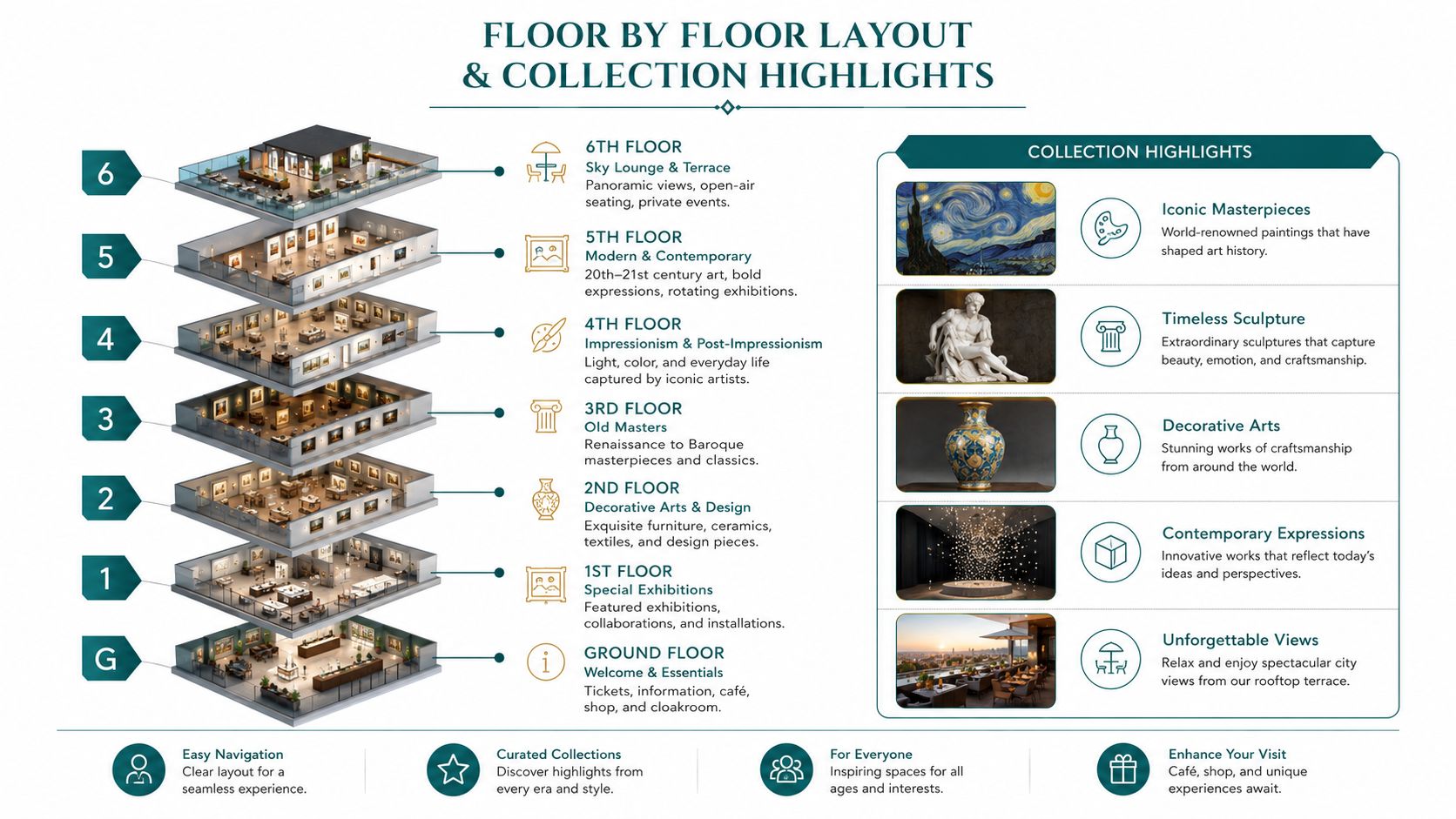
The Musée d'Orsay's five-level arrangement rewards visitors who understand the building's vertical logic. The official map is dense because it must combine galleries, services, stairs and lifts. Rather than treating each floor as an independent destination, think of the museum as a sequence connected by vertical cores.
The exact room arrangement can change with exhibitions, so use the official plan on the day. The broad route logic remains useful: the upper levels contain the Impressionist focus many visitors prioritise, while lower areas include substantial sculpture and other collections.
Ground and lower levels
The ground floor provides the most immediate sense of the former station and includes major sculpture areas. These spaces can feel open, but the central circulation is also where many visitors orient themselves, regroup and cross between destinations. That combination can create congestion around obvious landmarks and at transitions into galleries.
Lower levels continue the museum's collection route and include sculpture and related works. For a visitor with limited stamina, the lower galleries can be easier to place at the end of a planned descent, provided energy remains for the return route and exit. For a blind visitor, large open spaces may offer fewer tactile clues than a narrow gallery, so an accompanying route description should identify walls, entrances and changes in floor direction rather than relying on the central hall alone.
Middle floors
The intermediate levels connect the building's major collection areas. They can be useful as orientation points because staircases and lift cores link the principal vertical paths. They also contain galleries where visitors may stop for a quieter viewing rhythm, depending on the day's exhibition layout.
Treat the lifts as route infrastructure, not merely emergency alternatives. A route that looks direct on paper may become awkward if it sends a visitor through a crowded crossing or requires a companion to search for the lift entrance. Mark the lift core before beginning the gallery sequence.
Upper Impressionist floors
The upper Impressionist floors are a major destination for many visitors. The museum's accessibility guidance recommends using lifts to reach these upper areas first, then descending towards the lower sculpture collections. This sequence reduces unnecessary climbing and can distribute effort more sensibly across the visit.
The upper levels can also attract concentrated footfall around famous works, viewpoints and recognisable architectural features. Leave room in the plan for slower movement, companions pausing to describe works and lift waiting time. Seating and rest opportunities should be treated as part of the route, not as an afterthought.
A useful digital mapping layer would connect each gallery to its nearest accessible lift, rest point and toilet. The Waymap floor-mapping software information describes the kind of structured venue data needed for this approach. A PDF shows the building. A route model explains how to move through it.
Accessible Entrances and Step-Free Routes
Step-free access begins at the entrance, not at the first lift. Independent accessibility information identifies Entrance C as the accessible entrance, while the official museum guidance documents adapted access features within the building. The accessibility listing for Musée d'Orsay records a narrowest doorway width of 90 cm, alongside ramps, automatic doors, accessible toilets and elevators.
That doorway measurement is practical route data. A mobility aid may fit one doorway but become difficult to turn or manoeuvre in the space beyond it. Visitors using larger wheelchairs or other devices should treat the 90 cm clear width as a constraint to verify with staff, particularly if a temporary exhibition route or queue arrangement changes the approach.
Build the route around the accessible entrance
On arrival, tell staff that you need the step-free route rather than asking only for the nearest entrance. The main visitor flow may be visually obvious, but the accessible entrance can be operationally more suitable. Once inside, confirm the lift path to the upper Impressionist floors and ask whether any lift is currently restricted.
The route should record more than destinations:
- Entry point: begin at Entrance C when step-free access is required.
- Doorway constraint: account for the documented 90 cm narrowest width.
- Vertical connection: use lifts rather than stairs where required.
- Rest strategy: plan pauses before fatigue forces an unplanned stop.
- Return route: confirm how to descend and reach the exit without reversing through a crowded gallery.
The Waymap accessibility perspective on step-free access reflects an important design principle. A venue isn't practically accessible merely because a lift exists. Visitors need a complete route from pavement to entrance, between levels and through the services they want to use.
What services are accessible
The museum states that all exhibition areas and museum services, including the café, restaurant, bookshops and stores, are accessible to people with motor disabilities. That makes the official plan relevant beyond the art galleries. A visitor may need to route to a toilet, café or shop without abandoning the step-free network.
Wheelchair and folding-chair loans are available through the cloakroom for visitors with reduced mobility. Ask about availability when you arrive, then include the cloakroom in the route plan for both collection and return. Staff can also clarify the most practical lift sequence for the day's layout.
For visitors with visual access needs, ask for descriptions of the route's physical landmarks. A companion should describe whether the next turn follows the central hall, enters a gallery threshold or approaches a lift lobby. That information is more useful than naming a floor.
Using Indoor Navigation Apps Inside the Museum
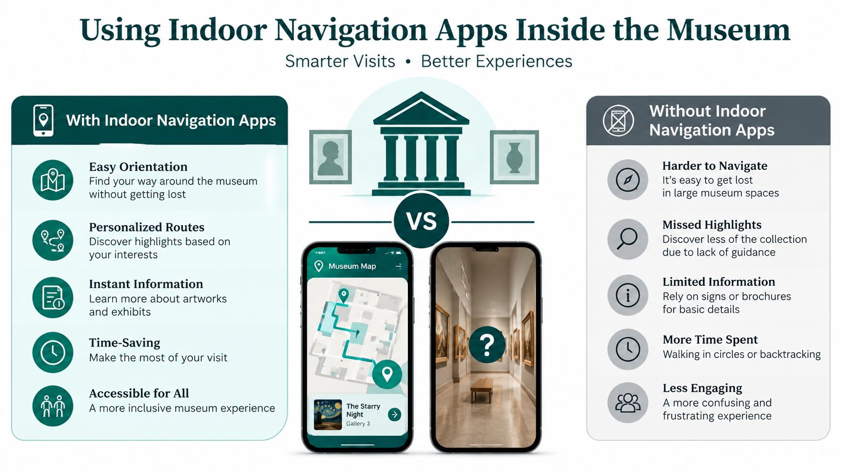
Ordinary mapping apps work well for reaching the Musée d'Orsay, but they aren't designed to guide someone through its galleries. GPS can locate the building from outside, yet it doesn't reliably identify a particular room, lift lobby or doorway once the visitor is inside. Google Maps and similar services generally lack the detailed indoor graph needed for multi-level, step-free routing, a limitation discussed in Waymap's analysis of indoor Google Maps.
A PDF has the opposite strength. It contains the museum's layout and collection labels, but the visitor must interpret the route themselves. A traditional audio guide can describe artworks, but it usually isn't a turn-by-turn navigation system. These tools solve different problems.
Comparing the practical options
| Tool | What it does well | Where it falls short |
|---|---|---|
| Official PDF plan | Shows levels, galleries and amenities in a recognised museum format | Requires visual interpretation and doesn't usually provide live route guidance |
| Paper map | Works without battery or signal and is easy to share with a companion | Can't adapt to closures, queues or a visitor's access requirements |
| Standard mapping app | Helps with outdoor arrival and nearby transport | Usually lacks room-level, lift-aware indoor directions |
| Audio guide | Adds interpretation and context to artworks | Doesn't necessarily guide the visitor to the next gallery or accessible facility |
| Infrastructure-free navigation | Can provide route instructions through a mapped indoor space without installed beacons | Depends on a prepared venue map and accurate route data |
Waymap uses dead reckoning with device-native sensors, combining smartphone motion data with detailed maps to guide people indoors without GPS, Wi-Fi or installed hardware. Its documented capability includes sub-3-metre accuracy in infrastructure-free environments and no pre-mapping requirement for venues with high staff turnover or frequent layout changes. The same approach was deployed at Lord's Cricket Ground in London, described by Waymap as the first stadium to implement this technology.
Why audio guidance changes the task
Heads-up, hands-free audio instructions can help blind and low-vision visitors maintain attention on landmarks, companions and the artworks being described. They can also help sighted visitors who don't want to stare at a phone in a crowded gallery. The useful instruction is not just “turn left”. It should identify the destination, the level change and the next meaningful landmark.
For a museum, the technical challenge is maintaining a route graph that understands lifts, stairs, entrances, toilets and galleries as connected points. For an accessibility team, the operational friction is often maintenance. Physical beacons and other installed hardware create another layer of equipment to inspect, replace and keep aligned with changing layouts. An infrastructure-free approach reduces that hardware burden, while the venue still has to maintain accurate digital maps and communicate closures.
Planning Your Visit for Minimal Crowds and Maximum Enjoyment
A low-stress visit begins with the building's vertical layout, not only the ticket time. The museum's visitor information includes timed entry and late Thursday opening hours. Check the current booking conditions, then choose a start time that fits your arrival, energy and preferred step-free route.
For visitors crossing Paris, allow time to reach the correct entrance, pass security and orient yourself before joining the galleries. The UK accounted for a 4.2% share of visitors in 2024, confirming that British visitors form a meaningful part of the museum's international audience. English-language planning information therefore has practical value, especially when you need to explain a lift-led route or ask staff about a temporary closure.
A route plan that works on the day
- Book a timed slot and check the museum's latest access instructions.
- Download the official PDF before leaving a reliable connection.
- Choose priority collections instead of trying to cover every room.
- Set up a lift-led sequence if stairs are unsuitable or tiring.
- Start with the upper Impressionist areas when that order suits your interests and access needs.
- Continue through the lower sculpture areas, building in rest points before fatigue becomes a problem.
- Keep lift lobbies and central crossings clear, since these spaces carry two-way traffic.
- Record the exit route, including the return to the cloakroom if you borrowed a chair or stored belongings.
The practical test is whether each floor change works in sequence. Check the lift's position against the next gallery, then look for doorway clearances before committing to a detour. A plan that reaches the right level but leaves a wheelchair user facing a narrow doorway is incomplete.
Crowds depend on location and timing. Recognisable works and upper-level features can draw clusters, while lift cores become pressure points as groups change floors. Venue teams can use location-based congestion records to decide where signs, staff or alternate routes will help. Waymap describes related spatial analysis in its 3D heat map approach.
Use the official plan as a starting point, then adjust the order around actual conditions. Leave time to sit, listen, look and recover. A good itinerary reduces unnecessary movement between lifts and doorways while preserving time for the collection.
Frequently Asked Questions About the Musée d'Orsay Map
Is a printable map of Musée d'Orsay available?
Yes, a printable map is available through the museum's official downloadable visitor plan and guide. Save the PDF offline before arrival and collect a paper copy at visitor information or the cloakroom if available.
How many levels does the Musée d'Orsay have?
The Musée d'Orsay spans five levels. Its vertical arrangement makes lift and staircase locations important parts of route planning.
Which entrance provides step-free access?
Entrance C is identified as the accessible entrance. Accessibility information also records a narrowest doorway width of 90 cm, plus ramps, automatic doors, accessible toilets and elevators.
Does the museum provide indoor navigation?
The official map provides static indoor information, but it isn't the same as live turn-by-turn navigation. Visitors should confirm current routes and lift availability with staff.
Can wheelchair users access the museum services?
Yes, the museum states that exhibition areas, the café, restaurant, bookshops and stores are accessible to people with motor disabilities. Wheelchair and folding-chair loans are available at the cloakroom for visitors with reduced mobility.
Waymap provides infrastructure-free indoor navigation that can guide visitors to precise galleries, lifts, toilets and entrances using smartphone sensors and detailed venue maps. If you're planning accessible navigation for the Musée d'Orsay or another complex public venue, visit Waymap to see how the platform can support step-free, audio-led wayfinding.
