
Location Positioning System: The Full Guide
Location Positioning System decisions in the UK should start with a hard fact, not a feature list, because the country's GNSS dependence is already economically significant. A UK government assessment valued GNSS at £13.622 billion in annual benefit, and estimated that a seven-day outage would cost £7.644 billion. That makes positioning a core operational capability for transport, emergency response, finance, agriculture, aviation and maritime operations, not a convenience for phone maps. A good location positioning system is the stack that answers three questions at once, where is the person, what should they do next, and can that next step be taken safely and accessibly?
What a Location Positioning System Actually Does
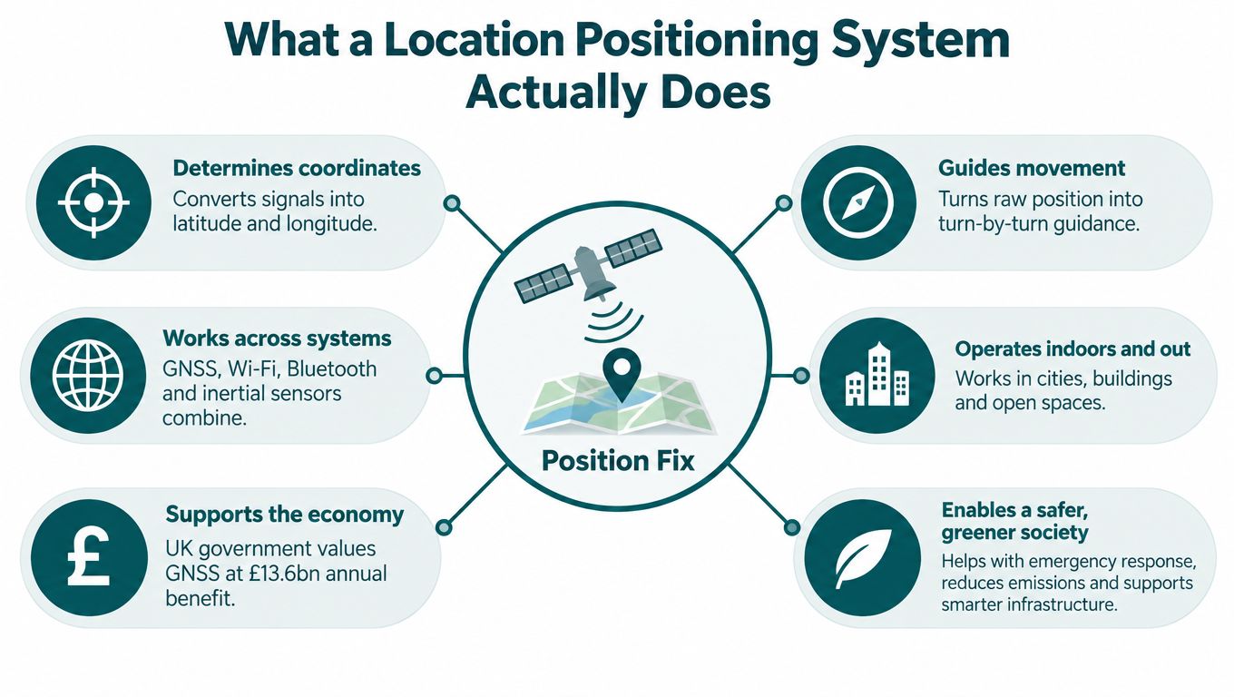
A location positioning system is more than a dot on a map. It combines signals, sensors and route logic so a user can be located, guided and kept oriented as they move through spaces that change from open street to concourse to basement level. The UK government's GNSS assessment makes the point plainly, because emergency services accounted for 43% of the annual GNSS benefit and road transport for another 42%, which means reliable positioning underpins both public safety and everyday movement. The same assessment estimated £1.424 billion in losses from a 24-hour outage, so this is infrastructure-level dependence, not a marginal software feature. UK GNSS disruption assessment
The useful way to think about it is simple. First, the system establishes localisation, which is the user's current position. Then it performs routing, which is the path to a destination. Finally, it provides guidance, which is the next instruction the user can follow. That distinction matters because many teams compare products as if they were all solving the same problem, when some only provide a blue dot and others can support turn-by-turn movement.
Why GNSS alone is not enough
Outdoors, satellite positioning is strong. Indoors, underground and in dense urban streets, it becomes brittle because buildings, tunnels and concourses block or distort signals. London-style urban canyons are a good example, where pedestrian positioning is harder than vehicle positioning and cross-street error can be worse than along-street error. For a traveller, that means a dot that looks precise can still place them at the wrong entrance, platform or crossing point.
Practical rule: if a system can't tell when GNSS quality has degraded, it shouldn't be trusted to guide the next step.
For readers who want a plain-language primer, this overview of location services is a useful companion.
The Main Positioning Technologies Compared
The market usually groups positioning into a handful of families, and the trade-off is nearly always the same, signal reach versus infrastructure burden. GNSS, Wi-Fi, BLE, UWB, cellular and inertial sensor fusion each solve different parts of the problem, but they don't solve them equally well in signal-poor environments. The London urban-canyon simulation is a useful anchor here, because GPS plus GLONASS could not guarantee reliable positioning over 24 hours, while adding Galileo and BeiDou improved performance across most, but not all, test locations. Urban canyon study
| Technology | Signal reach | Typical accuracy | Hardware at venue |
|---|---|---|---|
| GNSS | Outdoor strongest, weak indoors and underground | Good outdoors, unreliable in urban canyons | None |
| Wi-Fi fingerprinting | Indoor and some outdoor coverage | Depends on mapped access points | Access points and upkeep |
| BLE beacons | Indoor and near-entrance use | Depends on beacon density | Beacons, batteries, installation |
| UWB | Controlled indoor spaces | Very high in designed environments | Anchors and tagged endpoints |
| Cellular positioning | Broad outdoor reach, weaker inside buildings | Coarser than local infrastructure | Network-dependent, no local hardware |
| IMU sensor fusion | Works wherever the phone moves | Continuous guidance, depends on calibration and map quality | None at venue |
The key split is between technologies that require installed hardware and those that use the smartphone already in the user's pocket. Wi-Fi, BLE and UWB can be effective, but they create a maintenance cycle that procurement teams often underestimate. By contrast, inertial sensor fusion, which is the approach Waymap uses, depends on device-native motion sensors and detailed maps rather than venue hardware. For readers comparing consumer-device tracking patterns, this note on key fob tracker basics is a useful adjacent reference, because it highlights how different tracking methods depend on different assumptions.
How to read the table
The table is not a verdict, it's a filter. If your environment is largely outdoors and stable, GNSS may be enough. If you manage an airport concourse, an underground interchange, or a venue with frequent layout changes, hardware-heavy approaches add cost and operational friction. If you need continuous movement through mixed conditions, sensor-based dead reckoning with map constraints becomes much more attractive.
If the venue changes often, the map and guidance layer matter more than the radio layer.
For a deeper explanation of indoor tracking trade-offs, Waymap's indoor location tracking article is relevant background.
Metrics That Actually Matter for Real Journeys
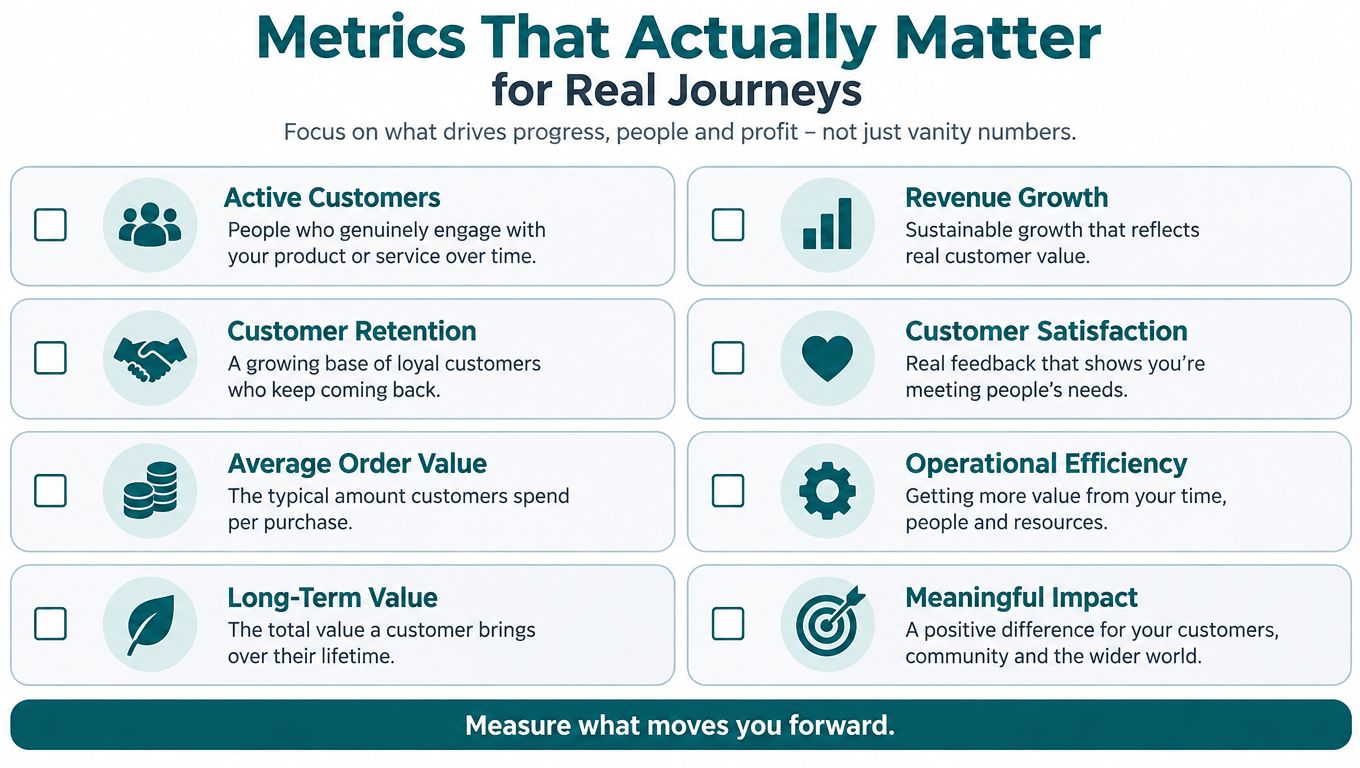
Accuracy is only one metric, and it's often the least useful one on its own. A product can report a low average error and still fail a user at the moment that counts, because the user needed the correct entrance, not a mathematically tidy coordinate. For that reason, decision-makers should separate accuracy, latency, availability, continuity, drift recovery and route reliability. Those are different things, and pilots should measure each one.
The accessibility case makes this even clearer. In a February 2025 RNIB survey of 1,197 blind and partially sighted people, fewer than half could make all the bus journeys they wanted or needed to make, and 92% said they had needed to walk in the road to avoid pavement obstructions. RNIB also reported that 49% of respondents who had encountered bus-stop bypasses said they made fewer journeys to avoid them. That is not an accuracy problem in the abstract, it is a journey-completion problem. RNIB inclusive journeys survey
What to measure in a pilot
Use operational metrics that reflect the whole journey.
- Arrival at the correct door: did the user reach the right entrance, platform edge or service point?
- Completion rate: did they finish the intended route without human intervention?
- Drift recovery time: how quickly did the system correct itself after a turn, crossing or pause?
- Audio latency: how long did it take for spoken instructions to arrive after movement changed?
- Accessible alternatives coverage: did the route logic include lifts, level access, audible points and step-free options?
- Continuity through disruption: did the system keep guiding when the user entered a tunnel, foyer or covered concourse?
A technically tidy blue dot is not enough if it lands a user at the wrong platform edge or a non-step-free entrance. The useful standard is simpler and more demanding, arrive safely at the right step-free entrance.
For a related look at how teams define service success, Waymap's customer satisfaction metrics article is a practical reference.
Where Each Technology Gets Used in Practice
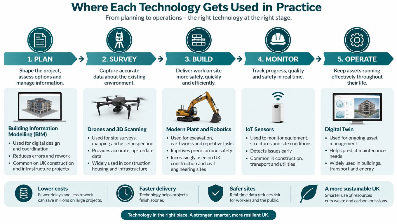
Transit is where positioning failures become visible very quickly. In systems like WMATA and SBS Transit, the passenger doesn't just need a map, they need the correct platform, the correct exit and the right step-free route through interchange halls. That is why infrastructure-free guidance is attractive in environments where layouts change, signage gets refreshed and staff can't stand at every decision point. The operational challenge is not whether a user can see a station on a plan, it's whether they can get to the exact point they need without confusion or delay.
At large venues, the friction is different. Westfield London and MCC Lord's show why step-level guidance matters in places where entrances, concessions, lifts and concourses all compete for attention. Venue teams care about reducing staff interruption, supporting accessibility duties and keeping the guidance layer current when tenants, gates or points of interest change. Waymap's wayfinding solutions overview is relevant here because it frames wayfinding as an operational layer, not just a map.
Campus and healthcare use the same logic
The Royal Hospital for Children and Young People in Edinburgh is a good example of why a hospital or campus is not solved by static signage alone. Families and visitors need the right wing, the right floor and the right department, often in a building where routes and room allocations can change. In that setting, infrastructure-heavy positioning creates another layer to maintain, which is the last thing estates teams need when budgets are tight and internal changes happen regularly.
There's also a data question that many organisations now ask when they evaluate operational systems. For a broader example of turning service and movement data into usable decisions, applying AI to business data is a useful adjacent lens, because the value comes from making complex information usable at the point of need.
Waymap fits this deployment pattern because it provides smartphone-based guidance without venue-installed beacons, and it adapts to indoor, outdoor and underground movement. In practice, that means the same system can support a station approach, a retail centre and a hospital corridor without a separate hardware layer for each.
Accessibility and ESG Benefits Beyond Compliance
The legal starting point in the UK is clear. The Equality Act 2010 requires service providers to make reasonable adjustments when disabled customers would otherwise face a substantial disadvantage, and government guidance says those adjustments can include changing policies, altering the built environment or providing auxiliary aids and services such as accessible information. Providers can't charge disabled customers for reasonable adjustments. Equality Act guidance
That duty sits alongside building and transport obligations. Part M of the Building Regulations 2010 addresses physical access, while the government's inclusive transport scorecard shows that information quality still lags physical certification in some contexts. The same scorecard says 99.5% of buses held accessibility certification as of 31 March 2024, while 52.8% provided audio-visual information, and 98% of operators required disability-awareness training. Disability quick-start guide
Why the business case goes beyond compliance
England's National Travel Survey 2024 found that disabled adults made an average of 712 trips per person, compared with 999 for non-disabled adults, a gap of about 29%. It also reported that 30% of disabled adults lived in households without access to a car, compared with 14% of non-disabled adults. That means accessible navigation isn't just a legal safeguard, it can shape how people reach services, stations and venues at all. National Travel Survey 2024 disability data
For NHS estates teams and public-sector venues, infrastructure-free positioning shortens the approval path because there's no beacon tender, no battery replacement programme and no hardware depreciation cycle to manage. That's one reason sensor-based systems are easier to align with capital constraints. It also helps explain why ESG and accessibility goals often move together, because better independent navigation can support fuller participation without adding venue hardware.
Procurement reality: if your accessibility requirement depends on installing and maintaining hardware everywhere, delivery gets slower before it gets better.
For a broader policy context, Waymap's ESG explainer gives the right framing for venue and transport leaders.
Choosing the Right Location Positioning System
Start with the journey, not the technology. If your users need to move through a known route outdoors, a lighter system may be enough. If they need to find the correct entrance inside a station, move between concourses, or recover from a missed turn in a signal-poor building, you need a system that keeps working when GNSS drops out and the venue layout changes.
A six-criterion buying framework
- Accuracy need: decide whether you need a broad area estimate or step-level guidance to a door, platform or room.
- Signal environment: map where GNSS, Wi-Fi and cellular fail, especially indoors, underground and between tall buildings.
- Installed hardware appetite: be honest about whether you want beacons, batteries and maintenance tickets.
- Update cadence: assess how often points of interest, entrances and routes change.
- ESG and accessibility mandate: connect the system to Equality Act duties and independence goals.
- Total cost of ownership over five years: include installation, maintenance, refresh cycles and staff time, not just the first purchase order.
An NHS trust estates manager will usually prioritise capital avoidance, low disruption and easy route updates. A transport authority product lead will focus on continuity across stations, interchange halls and underground sections. A retail centre operations director will care about visitor flow, tenancy changes and reducing the burden on frontline staff. Different buyers need different answers, but they all need the same thing, a system that still works on the worst day, not just in the demo route.
What to ask vendors to show
Demand a live demonstration in a signal-poor part of the venue, not on a curated path. Ask for drift recovery, dynamic map updates and an accessible output in audio, contrast and multilingual formats. If a vendor can't show how the system behaves at the exact point where users get confused, the pilot is incomplete.
Common Misconceptions About Location Positioning
Bluetooth beacons are not automatically more accurate than smartphone-only systems. Accuracy depends on density, map quality, update cadence and maintenance, so installed hardware can improve a route while also creating more failure points. GPS does not solve indoor navigation just because a phone has a good antenna, because buildings and underground spaces still block or distort the signal.
Beacons are not cheap just because each unit looks inexpensive. The cost comes from installation, replacement, battery management and keeping the map layer in sync with the space. Accessibility is not a niche issue either, because the trip gap and information gap in UK data show that reliable guidance affects a large group of people and a lot of daily journeys.
The cheapest system on the procurement sheet can become the most expensive system to operate.
Selection Checklist and Frequently Asked Questions
Use a short pilot, not a long guess. Define the journey jobs first, specify the success metrics, test in a weak-signal area and insist on accessible outputs. Then compare the operational burden over five years, not just the first rollout.
FAQ
What is the difference between a location positioning system and a wayfinding app? A location positioning system determines where the user is and can keep updating that position, while a wayfinding app only shows a route or map. The positioning layer is what makes step-by-step guidance possible in complex indoor, outdoor and underground spaces.
What accuracy is realistic indoors and underground? Indoors and underground, GNSS is unreliable, and urban-canyon evidence shows that even multi-constellation satellite positioning can struggle in dense built environments. The right expectation is dependable route continuity and arrival at the correct destination point, not outdoor-style satellite precision everywhere.
Can an infrastructure-free system support Equality Act obligations? Yes, because the Equality Act 2010 is about reasonable adjustments and usable information, not only physical hardware. A system that provides accessible route guidance, alternative paths and clear instructions can support that duty without adding venue-installed beacons.
How does total cost of ownership compare with beacon-based deployments? Infrastructure-free systems usually avoid the recurring costs of installation, battery replacement and hardware maintenance that come with beacon estates. Beacon-based deployments can work well, but the long-term operating burden is typically higher because the venue has to keep the hardware layer alive.
Waymap helps venues, campuses and transport operators provide precise, step-by-step navigation without relying on GPS, Wi-Fi or installed hardware. If you're evaluating a location positioning system for accessibility, ESG or route reliability, visit Waymap to see how infrastructure-free guidance can fit your estate and your users.
