Welcome to Waymap News
Here, we share current news and exciting new developments.

All Our Articles

dubai-international-airport-maps

Navigating Dubai International Airport (DXB) with Confidence

Navigate DXB with confidence using our Dubai international airport maps: terminal layouts, transport links, accessibility tips(dubai international airport maps)

what-is-a-lidar-scanner

What Is a LiDAR Scanner and How Does It Work?

What is a LiDAR scanner? We explain how this technology creates precise 3D maps for smart venues, digital twins, and advanced accessibility solutions.

app-for-good

What Is an App for Good and Why Should You Have One?

Discover how an 'app for good' can meet ESG goals, create inclusive experiences, and drive business value. A guide for venue and city operators.

indoor-positioning-systems

Indoor positioning systems: A Practical Guide for Modern Venues

Explore how indoor positioning systems map complex indoor spaces beyond GPS, with tech basics, costs, and benefits for airports and transit hubs.

Waymap Points the Way to the Journeys of the Future

Spatial computing, calm computing and AI are set to transform our interactions with the physical world

Waymap now live in Austin, Texas

The Waymap team is really excited that our first project in Austin, Texas is now live.We’re working with CapMetro – Austin’s regional public transportation provider – to make the city even more accessible, by navigating users to and from bus stops and other destinations.

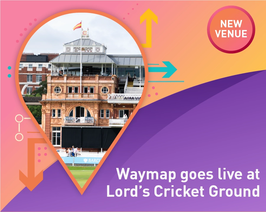
Graphic of Lord's Cricket Grounds' famous Pavilion, shown within a location pin and the words "New Venue" to the right

Waymap goes live at Lord’s Cricket Ground

New partnership at the Home of Cricket. Marylebone Cricket Club – known the world over as MCC – is setting a new standard in accessibility for sports fans by partnering with Waymap.

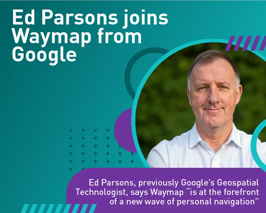
Graphic showing a photo of Ed Parsons with the words Waymap “is at the forefront of a new wave of personal navigation” below his photo.

Ed Parsons joins Waymap from Google

Ed Parsons, previously Google’s Geospatial Technologist, says Waymap “is at the forefront of a new wave of personal navigation”. At Google he took a leading role developing the company’s mapping and location apps.

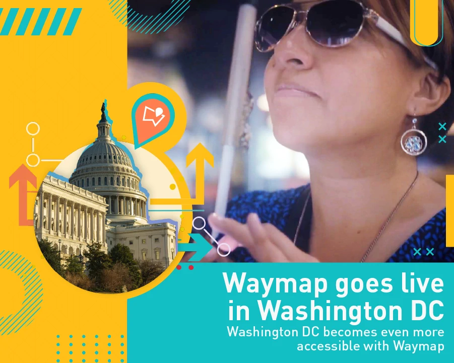
A graphic showing a photo of Evelyn Valdes, a visually impaired woman, holding her phone, with a graphic of Washington's capital building to the left.

Waymap goes live in Washington DC

Washington DC becomes even more accessible with Waymap – today Waymap went live across the entire public transit system.That’s 98 rail stations, more than 11,000 bus stops and 325 bus routes now covered by Waymap’s highly-accurate personal navigation app.

Blog Image

ADA Compliance Training That Actually Changes Behaviour

Learn how to design ADA compliance training that sticks, from curricula and delivery formats to refreshers and impact measurement.

Blog Image

UK Accessibility Standards: A Practical Guide for Venues

A practical guide to UK accessibility standards covering the Equality Act, BS 8300 and Building Regulations, with clear obligations for venues and transit hubs.

Blog Image

Why Accessibility Matters for Venues Transport and Growth

Why accessibility matters for inclusion, revenue and legal risk. See evidence, standards and practical steps for venues and transport operators.

Blog Image

ESG Reporting Requirements UK: A 2026 Reference Guide

A 2026 reference guide to ESG reporting requirements UK for companies, LLPs, and listed issuers. Covers SECR thresholds, UK SRS timelines, and compliance steps.

Blog Image

ESG Reporting Frameworks: A Practical Guide for UK Operators

Compare the major ESG reporting frameworks — GRI, SASB, ISSB, TCFD, CDP and CSRD — and what they mean for UK venues and operators.

Blog Image

7 ESG Reporting Examples for Venue Operators

Explore 7 ESG reporting examples from transport, airports, property and retail operators, with practical lessons for clearer metrics, access and wayfinding.

Blog Image

ESG Reporting Requirements Explained for UK Venues

Understand ESG reporting requirements in the UK, who they apply to, key metrics and how venues can prepare for compliance in 2026 and beyond.

Blog Image

Offline Navigation App Explained How It Works Offline

Learn how an offline navigation app works indoors and underground, from sensor-fusion to beacons, plus costs, privacy and ROI for venues.

Blog Image

Operational Cost Savings for Venues and Transit

Operational cost savings explained for venues, transit and campuses. Quantify staffing, signage and maintenance levers with measurable ROI frameworks.

Blog Image

10 Accessibility Best Practices for Built and Digital Spaces

Discover 10 accessibility best practices for built and digital spaces, covering wayfinding, signage, testing, compliance and KPIs for transit, venues.

Blog Image

Screen Reader Compatibility: A 2026 Guide

Learn how to ensure screen reader compatibility with practical tips, best practices, and implementation advice for accessible websites in 2026.

Blog Image

Georeferencing a Map: A Guide for Venues & Transit

Learn the essentials of georeferencing a map for your venue. This guide covers control points, coordinate systems, and accuracy for indoor navigation.

Blog Image

Accessibility Features That Actually Work in 2026

Discover which accessibility features genuinely improve navigation and inclusion in built environments and digital wayfinding, with real outcomes

Blog Image

Wayfinding Signage Design: A Practical Guide for UK Venues

Plan effective wayfinding signage design for UK venues with contrast, placement, inclusive access, and digital layer integration. Built on BS 8300 and Equality

Blog Image

Customer Satisfaction Metrics for Venues and Transit

Practical customer satisfaction metrics for transit, venues and campuses — CSAT, NPS, CES, plus Waymap case studies on accessibility and wayfinding outcomes.

Blog Image

Abu Dhabi Grand Prix Circuit Map: A Visitor's Guide

Plan your visit with our annotated Abu Dhabi Grand Prix circuit map of Yas Marina, including sectors, corners, best viewing spots, accessibility, and transport

Blog Image

Waymap Is Now Live at Singapore's Largest Public Library

Large public libraries are built for everyone. Now, every visitor to Punggol Regional Library can navigate one independently — with step-by-step audio guidance powered by Waymap's infrastructure-free SmartStep™ technology.

Blog Image

Internet of Things Smart Buildings: The Ultimate Guide 2026

Discover internet of things smart buildings. Learn about architecture, use cases, ESG benefits, and efficient navigation for venues and transit hubs.

VENUES

Make your space smarter  
and more accessible

Discover how Waymap reduces upkeep, boosts visitor satisfaction, and elevates your ESG credentials.

USERS

Confident navigation,
every step of the way

Waymap adapts to your walking style and personal preferences, guiding you reliably to your destination — whether platform, door, or store.

Arrow pointing up