
7 GPS Alternatives for Indoor and Outdoor Navigation

You're standing in a concrete-underground station, or in a hospital atrium, and the blue dot drifts, spins, then disappears. Steel and depth have swallowed the satellite fix, and a street-level pin will not get someone to a platform, clinic door or help point. GPS is one positioning technology among several. The seven GPS alternatives below fall into three dependency models: satellite-only apps, systems that need venue-installed hardware such as beacons, and guidance that uses nothing but the phone's own motion sensors.
I judge every option on four things: indoor accuracy, hardware burden, offline behaviour and cost to the end user. This is for estates managers, transport operators and accessibility leads who have to meet ADA Title III, the Equality Act 2010 and BS 8300. A route that ends at the building is not an accessible journey. A UK Government study published in 2023 put annual GNSS benefits at about £13.622 billion, with a seven-day outage costing about £7.644 billion. You'll get a verdict on each option, not a feature list. This comparison is by Tom Pey, Founder and a blind accessibility technologist.
1. Waymap
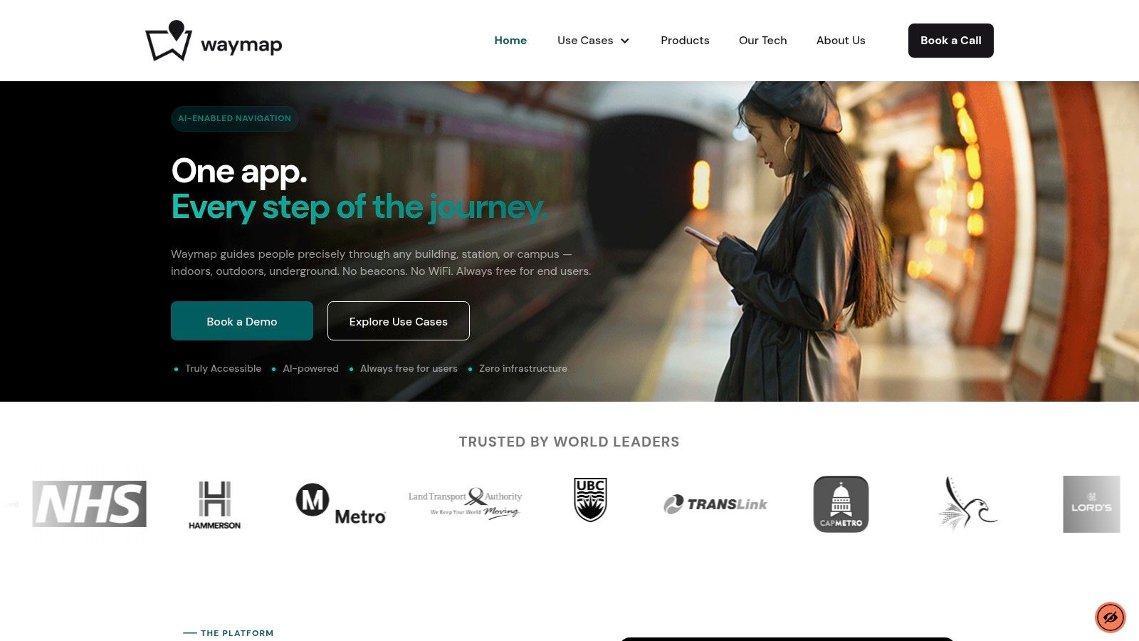
Waymap is the only entry here that physically depends on the phone's own motion sensors, not on a satellite constellation and not on anything bolted to the building. It dead-reckons from those sensors, fused in real time with a detailed venue map. AI estimates step length and direction of travel as the person walks, using movement, direction and elevation already in the handset. No GPS, no Wi-Fi, no Bluetooth, no mobile data and no beacons. That is what still produces a fix on a concourse after the blue dot has died.
The screenshot below is the hands-free audio view a visitor follows.
What operators actually get
Dr Olivia Swann identified it as the only viable option for the Royal Hospital for Children and Young People because it could run without GPS, Wi-Fi or cellular signal. NHS Lothian has confirmed that hospital as the first in the world to deploy this category of personal navigation. Indoor testing at Birmingham New Street showed significantly higher location accuracy than GPS-based navigation, including a direct comparison with Apple Maps on a measured indoor route.
The WMCA deployment had three objectives: independent navigation for passengers with visual impairments and mobility challenges, better passenger flow and less congestion at Birmingham New Street, and a scalable model for major UK rail stations. Bullring, Grand Central, Liverpool ONE and CapMetro Austin all went live with no additional hardware. Routing runs from anywhere inside the M25 to Lord's Cricket Ground, then continues step by step indoors. The same path works in underground stations with no internet connection, and through a shopping mall with no Wi-Fi, Bluetooth, data or mobile signal.
Visitors use the Waymap app, a venue's branded app, or a web app opened by QR code with no download. Core guidance is full audio turn-by-turn, step-free routing, personalised step counts and custom route preferences, down to a store, unit, platform or door. Routes update in real time to avoid works or faults on escalators, lifts and closed areas. On rail, live train schedules let a passenger time the walk when a service is delayed. Points of interest can be amended without reprinting signs or moving kiosks.
In an RNIB survey of 1,197 blind and partially sighted people, 77% reported difficulty finding their carriage and 68% said tactile wayfinding would help them reach platforms, lifts or staff points. Audio guidance to an exact door is aimed at that gap, not at another outdoor map.
Practical rule: If the system needs a beacon, a Wi-Fi fingerprint or a live GNSS fix, it will fail the day the layout changes or the signal drops. Ask what still works with the radio off.
Pros
- No installed hardware: Indoor, outdoor and underground directions without GPS, Wi-Fi or beacons.
- Built for independence: Hands-free audio for blind and low-vision users, with step-level accuracy and step-free routes.
- Phone sensors only: Positioning comes from motion, direction and elevation on the handset.
- Digital updates: Points of interest and failed lifts change without reprinting signs or re-siting kiosks.
Cons
- Map discipline: Accuracy depends on the venue being mapped and kept current after works.
- Unmapped space: A wing or concourse that is not on the map has no route, however good the sensors are.
Verdict: This is the one I would deploy where the last 100 metres is a platform, ward or turnstile, and capital spend on beacons will not survive the next budget cycle.
2. Apple Maps
Apple Maps is a satellite-and-cell positioning app inside the Apple ecosystem. It is excellent from the pavement to the station entrance, and thin once you are under the roof.
Walking, driving, cycling and public-transport directions sit in one app, with transit times where Apple has the feed. Selected airports and shopping centres have indoor floor plans and points of interest. Apple Watch haptics help on some outdoor walks, and Apple's privacy stance is a genuine plus for staff who will not hand location history to a third-party SDK.
It does not give continuous indoor navigation in a typical UK station or hospital. Indoor maps exist only at participating venues, walking and transit features vary by region, and there is no Android twin. If your estate is mixed-device, half your visitors are already outside the product. For what an iPhone can and cannot do once GPS drops, see our note on mapping iPhone apps.
Apple Maps will get a sighted visitor to the front door. It will not walk a blind passenger from that door to carriage C.
Verdict: Keep it as the default outdoor layer for iPhone users. Do not specify it as your indoor wayfinding system. Details are on Apple Maps.
3. Citymapper
Citymapper earns its place on the street and on the network, not inside the building. In UK cities with a thick feed it compares bus, rail, Tube and other modes, then hands you a walking leg with voice instructions. Step-free routing is free where the data exists. There is a web planner as well as the mobile apps, which helps a contact centre that should not be installing software on a visitor's phone.
Coverage quality moves with the city. A London interchange and a smaller English town are not the same product. It depends on location services and on the transit data you already publish. It is not a GPS-independent indoor tool, and it will not thread someone through a concourse to a specific lift.
Disabled adults in England made 740 trips per person in the 2023 National Travel Survey, against 989 for non-disabled adults. A planner that surfaces step-free options matters. It still stops at the stop. Pair it with a door-level layer rather than expecting one app to do both jobs. We set out a wider free-app comparison in best free navigation apps.
Verdict: Specify Citymapper, via citymapper.com, for multi-modal trip choice. Do not specify it for platforms, ticket halls or hospital corridors.
4. Moovit
Moovit is a transit companion. Live directions, alerts as you near a stop or your destination, and screen-reader support through VoiceOver and TalkBack make it more usable on an unfamiliar bus than a static timetable. Step-free notes appear where an operator has supplied them. In some cities it mixes agency data with rider reports, which is useful during disruption and risky when those reports go stale.
It will not place someone at a numbered door inside a station. Accessibility fields are only as complete as the local feed, and coverage changes by city and operator. Treat missing step-free data as unknown, not as accessible.
RNIB's 2025 survey of almost 1,200 blind and partially sighted people found that only 46% could make all the bus journeys they wanted, and 80% called unfamiliar bus journeys difficult or very difficult. Stop alerts help that first problem. They do not solve ticket machines, replacement stops or the walk from the stop to the clinic. How live feeds should be judged is covered in our piece on real-time transit information.
Verdict: Use Moovit for the ride and the alighting alert. Budget a separate system for everything after the passenger stands up.
5. HERE WeGo
HERE WeGo is the offline country map you download before the train goes into a cutting. Driving, walking and other modes, multi-stop routes, and live arrival estimates when the phone still has data. It is free and on the major platforms, which makes it a fair recommendation for staff travelling between sites.
Offline here means the map tiles are local. The position still comes from the phone's GNSS receiver. A downloaded map does not cover a basement, a platform under a raft foundation, or a spoofed fix. Maps have to be on the device before you lose signal, and traffic dies with the network.
The UK Government's positioning, navigation and timing overview treats GNSS interference as a national resilience issue, with jamming and spoofing called out as threats that need mitigation. Jamming is a lost fix. Spoofing is a confident wrong fix. An app that trusts the chip cannot tell your visitor which one they are in.

Verdict: Issue HERE WeGo for inter-site road trips with maps pre-loaded. It is the wrong specification for indoor or underground continuity.
6. Organic Maps
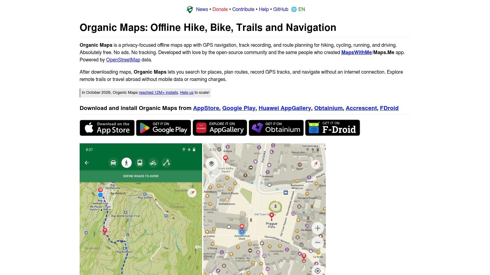
Organic Maps is the privacy-first offline option, built on OpenStreetMap and open source. Developers state there are no ads and no tracking. Search, routing and voice guidance for walking, cycling and driving work from downloaded maps, with hiking and cycling layers for people who leave the pavement. Local contributors sometimes map paths and cut-throughs that commercial sets miss, and sometimes they map them late or wrong.
You still need a GPS fix to get around. Community coverage is uneven, live departure boards are not the point of the app, and a station interior is rarely drawn to door level. It is a strong personal tool and a weak estates specification, because you cannot contract a volunteer map to stay aligned with next month's hoarding line.
For a closer look at what offline means on a phone, read our guide to offline navigation apps.
Verdict: Recommend Organic Maps to staff and visitors who want a private outdoor map. Do not put it in a tender for concourse guidance.
7. OS Maps
OS Maps is Ordnance Survey's outdoor app for Great Britain. Topographic detail, route plotting, recording and following are the job, and the free tier covers standard mapping plus basic route tools. Offline maps, the full leisure collection, ready-made routes, 3D and GPX export sit behind Premium. If your problem is a rural approach, a campus edge or a last-mile footpath the street apps smear, this is the right dependency: satellites plus a serious map, paid for by the person who needs the tiles.
It is the wrong tool for a mall, a stadium bowl or a ticket hall. International coverage is limited, and a subscription is a poor fit if you expected the venue to carry the cost. The same "download it first" rule applies. Premium offline still needs a positioning fix once the path is under trees or cliffs.
Sensor-based guidance that does not wait for that fix is a different category, which we explain in GPS-free navigation.
Verdict: Buy OS Maps Premium for GB walking routes. Leave it out of indoor operational design.
How the seven GPS alternatives compare on offline use, indoor wayfinding and cost
Each row is sorted by physical dependency: satellites plus a stored map, a venue floor plan, or the phone's own motion sensors.
| Item | Best For | Offline Maps | Indoor Wayfinding | Cost to Users |
|---|---|---|---|---|
| Waymap | Accessible navigation through venues and underground spaces | Works underground without an internet connection; needs the venue's mapped layout | Turn-by-turn indoor and underground guidance | Free; venues pay for a SaaS license |
| Apple Maps | Everyday travel in the Apple ecosystem | Depends on the device and which maps are downloaded | Floor maps and points of interest at selected venues | Included with the device for everyday navigation |
| Citymapper | Comparing public-transport journeys, especially in UK cities | Depends on the device and map download | Not designed for detailed indoor navigation | Step-free routing is free where supported |
| Moovit | Public-transport directions and stop alerts | Depends on the device and map download | No precise indoor guidance across venues | No venue fee listed; user pricing sits with the app |
| HERE WeGo | General navigation when mobile data is unavailable | Downloadable country and regional maps | Not designed for precise indoor navigation | Free |
| Organic Maps | Privacy-focused offline navigation and outdoor routes | Downloadable maps for offline search and navigation | Not designed for precise indoor wayfinding | Free |
| OS Maps | Outdoor routes and walks in Great Britain | Available with Premium | Not designed for indoor wayfinding | Free tier; Premium subscription for offline maps and full map access |
Which of These GPS Alternatives Fits Your Venue?
Start with the physical dependency, then match it to the space. Routine street journeys sit comfortably with Apple Maps or Citymapper. Transit-heavy trips where step-free data and stop alerts matter point to Moovit. Rural and off-grid walking belongs to OS Maps, Organic Maps or HERE WeGo, with the map downloaded before the signal goes. Offline map data solves the data problem. It does not create indoor positioning.
For door-level guidance inside a station, hospital, mall or stadium, without installing and maintaining beacons, use sensor-fusion navigation. That is the approach already running at the Royal Hospital for Children and Young People in Edinburgh, Birmingham New Street and Lord's Cricket Ground. At the Edinburgh hospital, Dr Olivia Swann selected it because it could work without GPS, Wi-Fi or cellular signal. The Government is not treating satellites as enough either. Its maritime guidance on GNSS-denied operations names eLORAN as a terrestrial backup, with initial capability planned for 2028 and full positioning and navigation capability by 2030. A concourse cannot wait for national infrastructure, and beacons shift the burden to batteries, wiring and upkeep.
The buying discipline is the same as switching hunting apps before deer season: identify the dependency before committing, because a polished interface cannot compensate for the wrong signal source.
Put three questions to any vendor:
- What does it physically depend on? Satellites, beacons, Wi-Fi, mobile data, or only the phone.
- Who maintains the map when a platform, hoarding or clinic moves?
- Does it still guide around a lift or escalator outage with GNSS, Wi-Fi and mobile data switched off?
Vague answers mean the system is likely to fail on the first possessions weekend or the first equipment fault. Choose the dependency that matches the room.
Waymap guides people from the street to an exact door, platform or clinic using the phone's motion sensors and a venue map. It keeps working underground without GPS, Wi-Fi, Bluetooth, mobile data or installed hardware, and it can route around lift, escalator and area faults in real time. Venues can talk to Waymap about a deployment, and visitors can start from the browser-based web app by QR code, with no download required. See how it fits your station, hospital or mall at Waymap.
