
10 Public Transport Examples and Their Wayfinding Lessons
You are on a busy interchange with a white cane, a pushchair or a heavy bag, and you have under a minute to find one platform among several. The departure board has just changed. The lift you used last week is dark. That is the moment these public transport examples are written for.
This guide sets out ten public transport examples, from the London Underground to the Medellín Metrocable. Each one names the operator, the point where wayfinding breaks, the constraint that makes another sign or another beacon a weak fix, and the step that still helps. I write as Tom Pey, founder of Waymap. The failures that matter sit at platform allocation, the lift lobby, the gangway and the pick-up kerb. A printed sign cannot warn about the lift that failed this morning, and hardware budgets rarely stretch to every tunnel and stairwell.
Treat the trip as a chain of decisions. A clear journey mapping explained view shows where a passenger chooses, waits and turns, including the walk between modes. If one link fails, a compliant train does not save the journey.
1. Metro (Underground) Rapid Transit
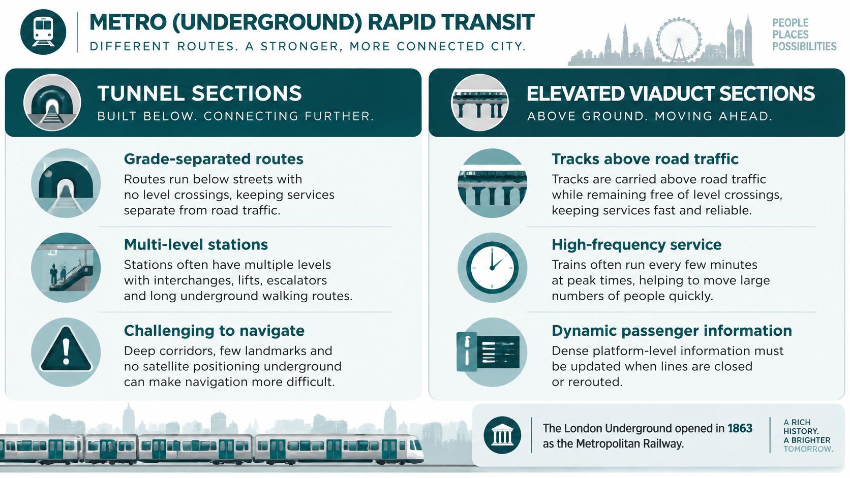
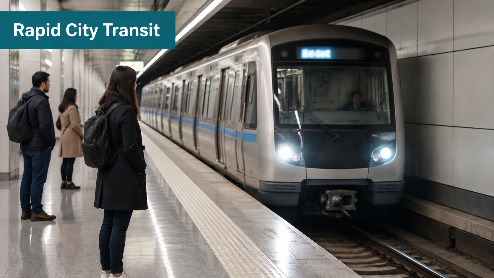
A metro is high-capacity urban rail, grade-separated in tunnels or on viaducts, largely free of road traffic. Transport for London runs the London Underground, opened in 1863 as the Metropolitan Railway. The MTA runs the New York City Subway. Both move huge volumes on fixed, frequent paths through city cores, and both lose satellite positioning the moment you go underground.
In the year ending March 2025, rail accounted for roughly 3 billion journeys in Great Britain, including 1.2 billion on the London Underground and Glasgow Subway, in Transport Statistics Great Britain. Volume is not the wayfinding problem. The break is the interchange where the step-free route splits from the signed route, and no member of staff can escort every passenger.
Practical rule: Map step-free routes separately from standard routes, in digital form and on signs, and update them the same day a closure starts.
Say the Victoria line platform you know is shut and the lift lobby is two levels away. You need that lobby named before you leave the platform edge. Test the wording with blind and low-vision users in the tunnel, where GPS cannot help. Our note on London Underground accessibility is the place to start that test.
2. Bus Rapid Transit (BRT)
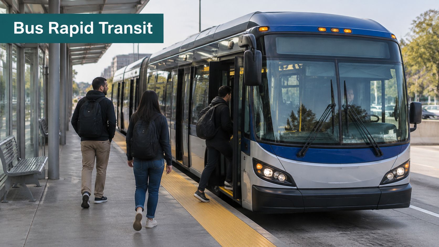
The wayfinding failure on BRT is the trunk platform: one narrow median station, several doors serving different routes, and a feeder stop a long walk away. Bogotá's TransMilenio, launched in 2000, and Curitiba's Integrated Transport Network, whose first corridor opened in 1974, both deliver dedicated lanes, level boarding, off-board fares and fixed stations at a fraction of rail cost. The constraint is the median platform itself. There is no concourse and little room for signage, so the information has to travel with the passenger.
Physical access and usable information are different problems. As of 31 March 2024, 99.5% of buses in England held an accessibility certificate, yet only 52.8% provided audio-visual information, on figures published via the Department for Transport. A low floor does not tell a passenger which door serves their route.
The fix at a shared-door platform has three parts:
Name the door: State the route served from that platform and that door, not only the corridor name.
Speak the stop: Give audio stop identity at the station, not only inside the vehicle.
Publish the walk: Map the distance between trunk and feeder stops so a connection is a number, not a guess.
A passenger with a buggy changing from a trunk bus to a feeder who hears only the corridor name boards the wrong service and loses the connection. Stop identity has to reach the phone before the vehicle arrives. In the CapMetro deployment, Waymap integrates live transit data so the navigation carries real-time arrival times, service changes and platform details, and the app draws its transport information from Transport for London, Metropolitan Transport Authority, other transport agencies and OpenStreetMap. For how stop identity reaches a phone as well as a platform screen, see real-time transit information.
3. Light Rail and Tram Systems
A tram can run on time and still be missed because the stop shifted to the far side of a junction overnight. Light rail and tram systems use lighter vehicles than heavy rail, often under overhead wires, and mix street running with short segregated sections. Transport for Greater Manchester's Metrolink and Croydon Tramlink show the range: one rebuilt a wide city-region corridor, the other stitched south London suburbs into the rail network. Capacity and cost sit between bus and metro, so cities use these lines to remake streets. The weak point is the last street crossing, where the stop shares pavement, signals and traffic.
In 2025, 52% of public-transport trips involved more than one mode, against 48% on a single mode, in the National Travel Survey. A tram stop is often that second mode. If the app only shows the platform, the passenger is already lost on the street.
Direction starts at the junction, not at the stop sign. Give coordinates or a door-level description, and agree with the highway authority that roadworks cannot close the approach without an alternative path.
A weekend closure can move a stop on a shared carriageway 30 metres. The operator can keep trams running, but the highway authority controls cones, signals and footway space. Publish the temporary approach the morning it changes; routing should avoid works and faults automatically rather than send passengers to a pole that no longer exists.
4. Commuter Rail and Suburban Rail Services
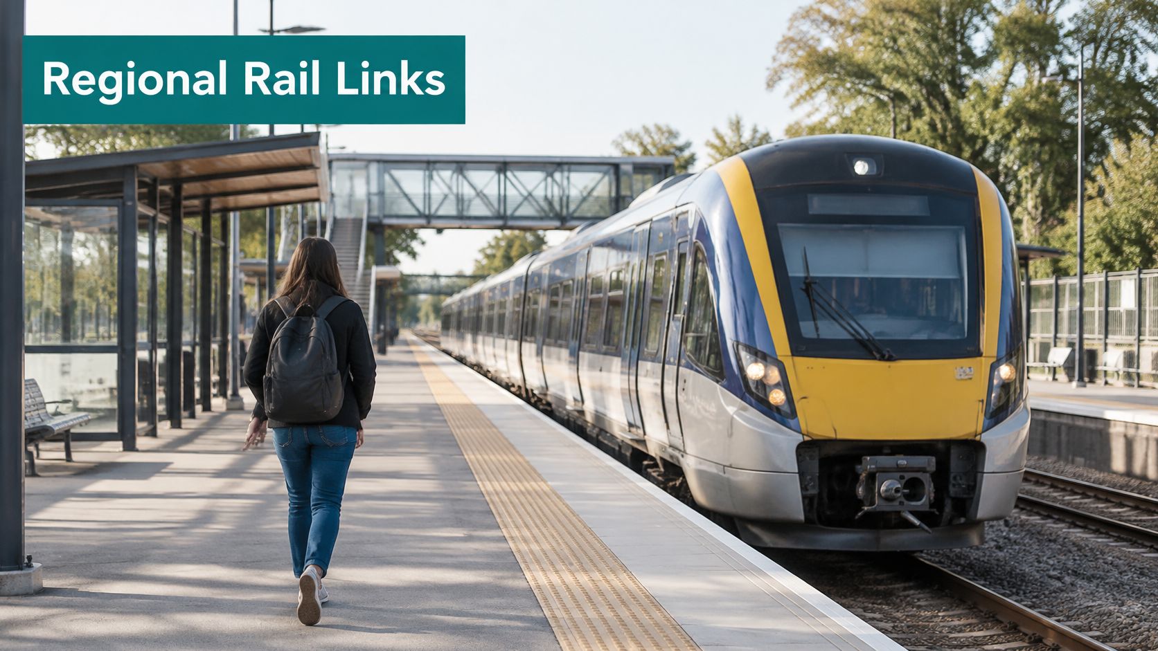
Commuter rail links a city centre to suburbs on heavier trains, with longer gaps between stops than a metro. London's Elizabeth line opened on 24 May 2022, joining new central tunnels to existing suburban routes. Thameslink does similar work across London and the South East. The break is platform allocation. A train can be reassigned minutes before departure, and a blind passenger cannot scan a bank of screens.
When the Inclusive Transport Strategy was published, 98% of buses in England met accessibility requirements, while only 78% of the mainline rail fleet met modern accessibility standards. Fleet compliance still leaves the walk from entrance to platform undescribed.
Blackpool Transport's rail-replacement buses put rolling screens above the wheelchair bays so passengers did not have to turn around, and Transport Focus later recorded 94% satisfaction after real disruption, in a government case study. Information placement beat a prettier vehicle.
Spoken changes: Push platform changes to the app and to audio, not only to a visual board.
Counted access: Say how many stairs or lifts sit between entrance and platform.
Step-free interchanges: Plan them where commuter platforms meet mainline stations.
Say your usual platform swaps at the last minute. You need the new number and the lift route in the same sentence. The c2c trains map shows why that sentence has to survive a tunnel as well as a concourse.
5. Ferry and Water Transport Services
A ferry carries people, and sometimes vehicles, where a bridge or tunnel is absent or too costly. The Staten Island Ferry, run by the NYC Department of Transportation, is a free commuter link between Manhattan and Staten Island. Sydney Ferries, run by Transport for NSW, does the same job on a harbour. The failure point is the berth, not the boat. Gangways change with the tide, slopes change with the vessel, and the correct pier can sit a long walk from the bus or rail stop that the timetable names.
Gangway first: Publish the gangway type and any slope for each berth before someone commits to that pier.
Pier from the stop: Guide from the nearest bus or rail stop to the correct berth, not merely to the terminal building.
Alerts you can hear: Send live service changes in the app and speak them at the terminal.
Say two boats share a waterfront and only one gangway is level enough for a wheelchair. A map pin on the terminal door sends you to the steep one. Name the berth, the slope and the walk from the last bus. Hardware on the vessel cannot fix a wrong pier.
6. Cable Cars, Gondolas and Urban Aerial Transit
Urban aerial transit hangs cabins from cables to cross steep ground, rivers and dense hillside districts. Medellín's Metrocable opened its first line in 2004 and linked hillside neighbourhoods to the metro. Portland's Aerial Tram, run by TriMet, opened in 2006. The footprint is small, which is the appeal, and the failure is vertical. The cabin is step-free only if the lift and ramp before the boarding point are working.
The short film below shows how tight that boarding sequence is on a hillside line.
Describe the full access route, including steps, ramps and lifts, before the cabin. When a lift fails, say so in plain language and name the nearest alternative, including the walk to a metro or bus stop. A closed lift with no spoken alternative turns an accessible cabin into a dead end.
Say you arrive at a Metrocable station and the ramp you were told about is blocked. You need the stair count and the next working route before you queue. Signs at the cabin door are too late.
7. Monorail Systems
A monorail rides a single beam, straddling it or hanging from it. Chongqing Rail Transit Line 3 serves a steep city of dense river crossings. The Seattle Center Monorail in Washington State shows the same compact raised footprint over a street. The beam saves road space. It also lifts the platform away from the pavement, so the journey fails in the vertical core, not on the beam.
Floors and lifts: At the entrance, state how many floors you must change and where each lift is.
Live lift status: A static "lifts available" sign is wrong the hour a lift fails. Update it.
Ground connection: Describe the walk from the mezzanine to the bus stop or footway, including any road crossing.
Say the street entrance faces one road and the bus you need stops on the other side of the viaduct. Without that link described, the monorail ride ends at a mezzanine you cannot leave with confidence.
8. Automated and Driverless Metro Systems
An automated metro runs without a driver on board. Signalling and control software hold the frequency. Singapore's Downtown Line, opened in 2013, is operated by SBS Transit and overseen by the Land Transport Authority. Copenhagen Metro, run by Metroselskabet, is the European reference. High frequency is the gain. Fewer staff on the train is the trade-off, so platform-edge information has to do work a driver used to do by voice.
Pair platform screen doors with audio and tactile cues at the edge. Publish step-free and lift routes for every level. When an entrance or platform layout changes, update the digital route the same day. A perfect headway does not help someone who cannot tell which door is open or which lift is out.
Say you are on an unstaffed platform and the usual entrance is closed for works. Screen doors keep you clear of the track, but only a spoken route gets you to the street. Test that route with blind users, not only with the control-system log.
9. Demand-Responsive Transport and Microtransit
Demand-responsive transport runs to bookings or live requests, not a fixed timetable. A dispatcher groups passengers into a shared vehicle and chooses a pick-up point on the fly. CapMetro Pickup in Austin, run with Via, shows the model in lower-density areas where a fixed route would run nearly empty. Several European local authorities run ride-on services on the same idea. Coverage is the gain. The failure is the kerb. "Near the shop" is not a pick-up point.
The operator constraint is cost and curb ownership. A flexible service cannot sign every possible corner, and the useful kerb may already hold deliveries, taxis or a bus layover. England recorded 3.7 billion local-bus passenger journeys in the year ending March 2025, only 1% more than the year before, and concessionary journeys by older, disabled and young passengers were 28% of those trips, or 1.0 billion, in the annual bus statistics. High volume does not describe the last 20 metres.
Name the kerb: Give entrance, side of street and a landmark, then repeat it in the confirmation.
Call the arrival: Send audio and visual notice when the vehicle is close, with the plate or vehicle colour.
Book without a phone: Keep a call centre or stop-based request channel for riders who do not use smartphones.
If you weigh a booked shared ride against a private transfer, compare shared rides and private vans only after both options name the same kerb. Vehicle type matters less than whether the driver and passenger agree on the exact door. For the fixed-route feeder and the walk to that door, see accessible public transport.
10. Paratransit and Door-to-Door Transport for Disabled Passengers
Paratransit is shared, pre-booked transport for people whose disabilities stop them using fixed routes. In the United States, the Americans with Disabilities Act requires agencies that run fixed-route bus or rail to provide complementary paratransit within three-quarters of a mile of those routes, under 49 CFR 37.121. WMATA MetroAccess is the Washington, D.C. service of the Washington Metropolitan Area Transit Authority. The law sets a baseline. It does not describe the door.
More than 90% of disabled people surveyed reported barriers on at least one mode, 77% said those barriers harmed their physical or mental wellbeing, and three-quarters felt stressed when travelling, according to CILT UK. Among wheelchair, scooter and cycle users, 82% reported barriers to step-free train boarding. A booked van does not remove that stress if the pick-up is vague.
Adults aged 16 and over with mobility difficulties made an average of 33 local-bus trips per person in 2024, compared with 67 in 2008, in the Office for Statistics Regulation review. Lower use is an outcome, not proof that vehicles are missing.
Explain the pick-up and the wait in plain language. Name the entrance. Pair the booking with a step-free route to the nearest fixed stop, so paratransit is a bridge, not a separate world. The case for paratransit that connects to the wider network is that door-level detail.
How the ten public transport examples compare on wayfinding and access
Read the table by failure point. Each row pairs the moment wayfinding breaks for the passenger with the step-free pattern that decides whether the journey still works. Fixed signs age fastest where layouts change most.
| Item | Typical Setting | Main Wayfinding Challenge | Step-Free Access Pattern |
|---|---|---|---|
| Metro (Underground) Rapid Transit | Dense urban networks with tunnels or elevated tracks | Complex, multi-level stations and changing routes; GPS drops in tunnels, so signs carry the load | Step-free routes are lift-based; confirm lift location and status for each station before travel, and name the step-free route at the interchange |
| Bus Rapid Transit (BRT) | Dedicated bus corridors with fixed stations | Finding the correct platform and boarding door at busy stations | Level boarding at platform-height stations; check which stops on the corridor are actually built to platform height |
| Light Rail and Tram Systems | Street-level or segregated tracks near shops and housing | Locating pavement stops when crowds, barriers or roadworks obstruct the approach | Low-floor vehicles board from raised platforms or street stops; check which stops on the route have level boarding |
| Commuter Rail and Suburban Rail Services | Mainline routes linking city centres with suburbs and outer towns | Identifying the correct platform in large stations when late platform changes outrun fixed signs | Check the step-free route to the specific platform before travel; older stations often have lift or ramp access on some platforms only |
| Ferry and Water Transport Services | Waterfront terminals, piers and cross-water routes | Finding the correct berth in an unfamiliar terminal when disruption shifts departures | Boarding is by gangway or pontoon; slope and gap change with the tide, so confirm the accessible boarding point on the day |
| Cable Cars, Gondolas and Urban Aerial Transit | Steep terrain, hillsides and constrained urban areas | Covering long access routes between street level and elevated stations | Access combines stairs, ramps and lifts; check lift status before travel, since one out-of-service lift can close the step-free route |
| Monorail Systems | Elevated urban corridors, including dense areas and airport routes | Reaching elevated platforms through the correct lift or escalator bank | Platforms are reached by lift or escalator; wheelchair users should confirm lift availability at both ends before travel |
| Automated and Driverless Metro Systems | Dense urban networks with automated train operation | Reaching the right platform as entrances and layouts change faster than posted maps | Step-free routes are lift-based; confirm lift status at each station and at any interchange with older, non-automated lines |
| Demand-Responsive Transport and Microtransit | Low-density areas and places poorly served by fixed routes | Pinpointing a pickup point with no fixed-stop infrastructure, then identifying the arriving vehicle | Pickup is at a named point agreed at booking; confirm the location, note the vehicle's registration or operator name, and request an accessible vehicle in advance |
| Paratransit and Door-to-Door Transport for Disabled Passengers | Pre-booked services linked to fixed-route transit | Handling pickup procedures plus any station or stop portion of the journey | Door-to-door service with lift-equipped or ramped vehicles; plan a step-free route for any station or stop portion of the trip |
Where Wayfinding Fails First, and How to Fix It
The failure points repeat across modes. A platform allocation changes after the passenger has passed the gate line. A lift lobby closes for works and the step-free route disappears. A microtransit or paratransit kerb has no landmark the driver and passenger both recognise. A tunnel takes GPS and Wi-Fi away at the exact moment the choice matters. Signs struggle because they cannot move as fast as the station. Beacons struggle because someone has to power, survey and replace them in a building that changes layout. UK accessibility duties point in one direction: transport and the buildings around it have to be usable by disabled people, so the digital route has to carry the same weight as the physical one.
The fix is operational. Publish step-free and lift routes as data, not as a PDF. Update platform, entrance and closure information on the day the change takes effect. Test the route with blind and low-vision passengers where GPS is gone, then again at the lift lobby and the kerb. At Birmingham New Street, the West Midlands Combined Authority set three aims: independent navigation for passengers with visual impairments and mobility challenges, better flow and less congestion, and a model that could scale to major UK rail stations. Testing across diverse user groups brought strong satisfaction, with particularly positive responses from users with visual impairments who reported more confidence moving through the station independently. That is the outcome I look for: confidence at the decision point.
Waymap is listed with clients including WMATA, SBS Transit, LA Metro and the Singapore Land Transport Authority. It uses the phone's motion sensors against a detailed map, so guidance can continue in underground stations without an internet connection and without installed beacons. The city, transport authority and building owner pay to deploy it, maintain venue maps and keep navigation information current. Routes can automatically avoid works or faults in escalators, lifts and areas. Step-free routing, guidance to accessible toilets and food and drink options are built into the main journey, with no separate accessibility mode or special configuration. The same constraint applies abroad without mobile data: a map that dies when the signal dies cannot run a station.
I would not begin with a network-wide beacon programme. Start with one interchange, one platform-change script and one kerb description, then test them with passengers who cannot rely on a glance at a sign.
Waymap gives step-by-step audio guidance across buses, trains, metro, trams and the walk between them, from street to platform and through stations where GPS and Wi-Fi drop out. If you run a network or large venue, we can map the failure points in this guide and keep lift, platform and entrance changes current without installed beacons. Visit Waymap to see how a deployment works for your stations.
