
Your Guide to the C2C Trains Map and Accessible Journeys
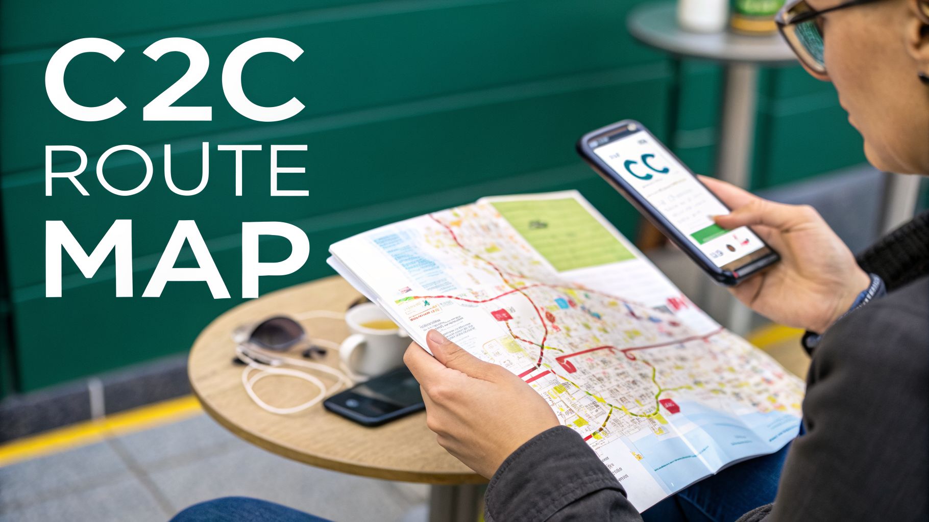
If you travel between London and South Essex, the c2c trains map is your essential companion. It’s the key to navigating this busy network, which links the capital’s hubs at Fenchurch Street and Liverpool Street with coastal towns like Southend Central and Shoeburyness, and inland destinations such as Grays. Understanding this map is the first step toward a smooth journey.
Decoding the C2C Trains Map
At first glance, the c2c network might look complex. But it's actually built around a few core routes that are easy to follow once you know what you’re looking for.
Think of the map as a simple diagram, not a precise geographical drawing. Its job isn't to show you every twist and turn of the track, but to give you a clear, straightforward view of the stations and how the lines connect. By tracing the lines, you can quickly see the main arteries of the network and figure out exactly which train will get you where you need to go.
The Main C2C Routes
Most journeys on the c2c network start at London Fenchurch Street, though some services use London Liverpool Street (especially during engineering work). From London, the lines fan out into Essex, splitting to serve different corridors.
One major branch follows the Thames estuary out toward Southend and Shoeburyness. Another peels off to serve the areas around Tilbury and Grays. Learning to spot these main pathways on the map helps you know you’re on the right platform, heading in the right direction.
A standard map shows you what and where—the stations and the lines. But it often misses the how—the step-by-step reality of getting through a busy station to find your platform. That's where more advanced navigation tools can help.
To make things easier, we've put together a quick-glance table of the main routes. This should give you a good starting point for planning your trip.
C2C Main Routes at a Glance
This table breaks down the primary routes, their main stops, and what to expect for journey times during peak hours.
| Route Name | Key Stations | Typical Peak Journey Time (from London) |
|---|---|---|
| Shoeburyness Line | Fenchurch Street, Barking, Basildon, Southend Central, Shoeburyness | Approximately 60-70 minutes |
| Grays via Rainham | Fenchurch Street, Barking, Rainham, Grays | Approximately 35-45 minutes |
| Grays via Ockendon | Fenchurch Street, Barking, Upminster, Ockendon, Grays | Approximately 40-50 minutes |
Once you’ve figured out your route, you can take your journey planning to the next level. If you're interested in getting precise, step-accurate directions inside the stations themselves, it's worth exploring how Waymap technology works to guide you from the station entrance right to your seat.
Navigating Key Hubs and Interchange Stations
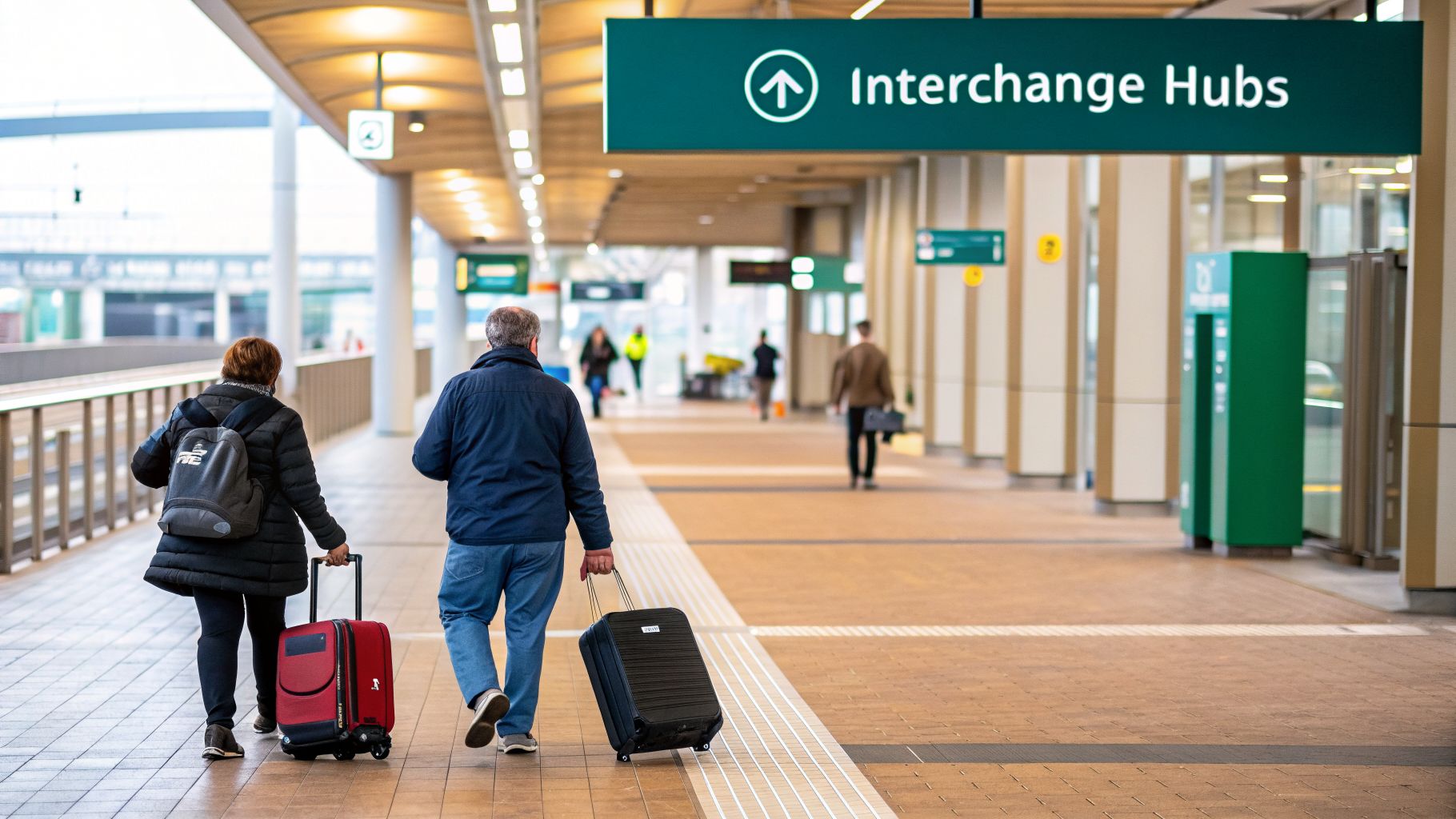
While the c2c trains map is great for seeing the big picture, the real challenge often arrives when you need to change trains. A truly smooth journey comes down to how confidently you can navigate the network's key interchange stations.
Getting to know the layout of these hubs is the secret to making seamless connections. Most c2c journeys will take you through one of three major interchange points: Fenchurch Street, West Ham, or Barking. These are your gateways to the rest of London’s transport network, but they can feel overwhelming if you’re not a regular traveler.
Fenchurch Street Station
Fenchurch Street is the main London endpoint for the c2c line and a bustling commuter hub. It's important to know that it doesn't have a Tube station directly inside it, but it’s just a short walk to Tower Hill (for the District and Circle lines) and Aldgate (for the Metropolitan and Circle lines).
The station itself is relatively compact with only four platforms, which makes it far easier to navigate than some of London’s sprawling terminals. Still, knowing which exit you need and where you're heading next can save you precious time.
A static map can show you that two stations are near each other, but it can't guide you step-by-step along the sidewalk from one entrance to the other. This "last 50 meters" problem is a common challenge for travelers in unfamiliar urban environments.
West Ham and Barking Stations
These two East London stations are where c2c services connect directly with the London Underground and other rail lines. They’re vital points on the c2c map for anyone traveling into or across the capital.
- West Ham: This station is your link between c2c trains and the District, Hammersmith & City, and Jubilee lines, as well as the DLR. The platforms are spread across different levels, so look for the signs to your connecting service.
- Barking: As a major hub, Barking links c2c with the District and Hammersmith & City lines and the London Overground. It’s a complex station with multiple platforms for different services, so having a clear idea of where you’re going is crucial for a quick transfer.
For any trip that involves changing here, a little forward planning goes a long way. If you know which platform you'll arrive on and which one you need to get to, you can avoid last-minute stress and move confidently through the crowds to the next leg of your journey.
Beyond the Lines: Navigating C2C with Real-World Accessibility in Mind
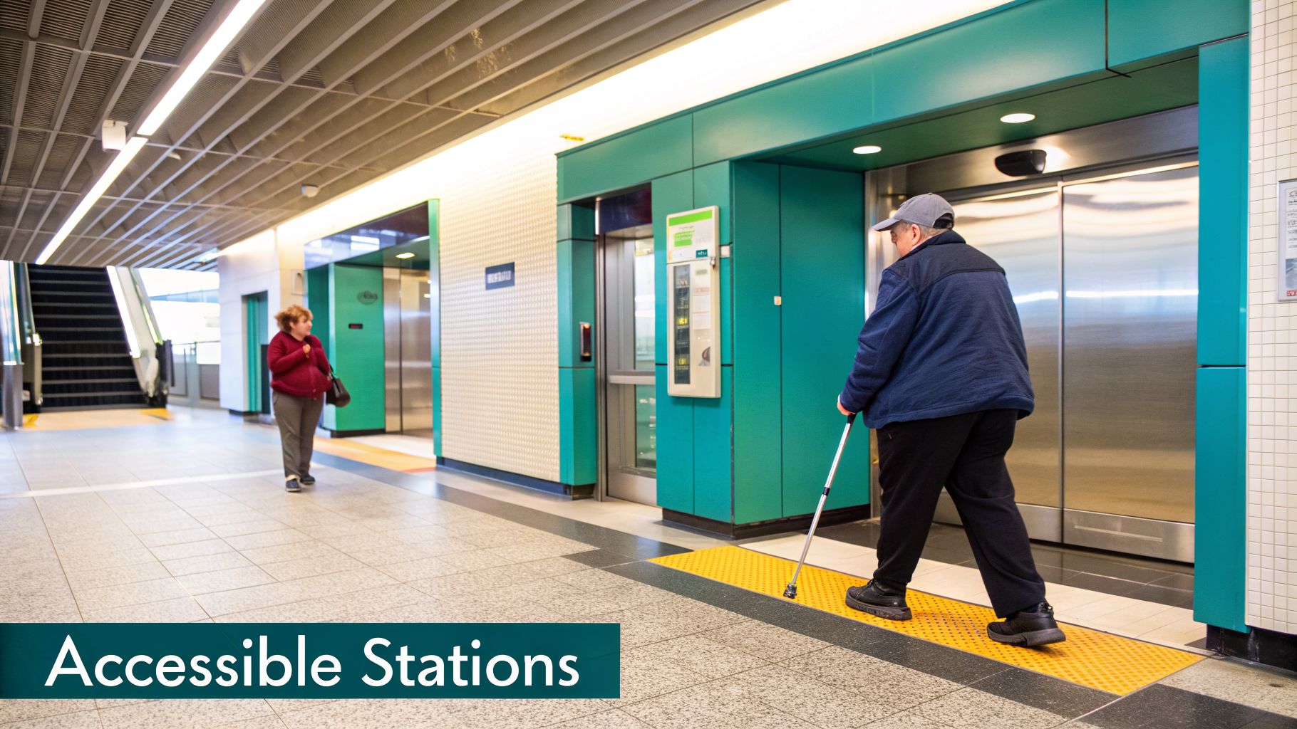
A c2c trains map is great for showing you the lines connecting London to the Essex coast. But what it can’t show you is whether you can actually use that route. For many travelers, planning a journey is about more than finding the quickest path—it’s about knowing the physical reality of every station along the way.
This is where the simple line diagram falls short. Many people need to know about the elevators, ramps, and where to find an accessible restroom. Having this information upfront is the difference between traveling with confidence and traveling with uncertainty.
What “Step-Free Access” Really Means
You’ll see the term “step-free access” used a lot, but it’s not always straightforward. On the c2c network, one station’s step-free route might involve a new elevator right by the platform, while another’s could be a long series of ramps.
Even a "step-free" label doesn't tell the whole story. What about the distance from the elevator to the platform? Or what happens if that one crucial elevator is out of service? These are the details that can completely disrupt a journey. It’s why having more than just a label is so critical, especially for anyone with mobility needs or a visual impairment. You can learn more about this in our deep-dive on why we should look beyond just step-free access.
True accessibility isn't just about providing an elevator; it's about ensuring a person can find and use that elevator independently and confidently. It transforms a journey from a series of potential obstacles into a smooth, seamless experience.
Planning Your Accessible Journey with Confidence
A little preparation can make all the difference. C2C provides excellent services to help passengers who need assistance, and using them is a smart move.
Key Services and Tips for a Smoother Trip:
- Passenger Assist: This is a national service that lets you book assistance ahead of time. You can arrange for a staff member to help you navigate the station, get onto the train, or manage your luggage. It’s always best to book in advance to make sure someone is ready and waiting for you.
- Station Checks: Before you head out, use the National Rail or c2c websites to check the accessibility status for your departure and arrival stations. This is your best way to find out about any last-minute elevator closures or other issues.
- On-the-Go Facilities: Need to know about accessible restrooms (and whether you’ll need a Radar Key) or induction loops at ticket counters? This information is usually available online. Planning for these needs ahead of time makes the whole day easier.
When you pair the route from a c2c trains map with these practical, real-world details, you’re not just planning a trip. You’re building a complete picture of your journey, giving you the peace of mind to travel without the guesswork.
Digital Tools for Smarter C2C Travel
While a printed c2c trains map is excellent for getting a bird's-eye view of the network, your smartphone is what unlocks a truly modern, real-time travel experience. The latest digital tools go far beyond static lines on a page, offering live updates and interactive features that make your journey smoother and more predictable.
Your first stop should always be the official C2C app and website. Think of them as your mission control for checking live train times, seeing any service alterations, and even buying tickets on the move. They're essential for staying one step ahead of disruptions.
But even the best journey-planning apps have a common blind spot. Their guidance usually stops the moment you walk through the station doors. This is where a gap in the travel experience appears, leaving you to figure out the final, and often most stressful, part of the trip on your own.
Bridging the Gap From Station Door to Platform
Navigating a large, multi-level station like Barking or West Ham can be a real challenge. You might know your train leaves from Platform 5, but where is it? Which way are the ticket barriers? Where’s the nearest elevator? This is the "last 50 meters" problem that traditional maps simply can't solve.
A complete journey isn't just about getting from one town to another; it's about navigating every single step with confidence. True end-to-end travel means having guidance from your front door, right through the station, onto the train, and all the way to your final destination.
This is precisely where advanced navigation technology like Waymap comes in. While a standard map app gets you to the station, Waymap is designed to take over inside it. It gives you precise, step-by-step audio instructions that guide you through complex indoor spaces.
How does it work?
- No GPS or Wi-Fi needed: It works perfectly underground because it uses your phone's built-in motion sensors to understand where you are and how you're moving. No signal, no problem.
- Step-accurate audio directions: Instead of just showing a dot on a map, Waymap gives you clear, spoken instructions like, "Walk forward 15 steps, then turn right toward the ticket barriers."
- Hands-free and heads-up: The audio-first approach means your phone can stay in your pocket. You can keep your eyes on your surroundings, making your journey safer and a lot less stressful.
By filling this critical navigation gap, tools like Waymap are transforming the travel experience. They don't replace the c2c map; they complement it, providing the detailed, real-world guidance you need to move through a busy station confidently and create a truly connected journey for everyone.
How Waymap Delivers Step-Accurate Station Navigation
It’s one thing to see the C2C network on a map, but quite another to navigate a busy station on the ground. A standard map shows you the lines, but it can't guide you through the maze of ticket barriers, platforms, and staircases. This is where precise audio navigation changes the experience.
Imagine arriving at Barking Station, a major interchange where crowds are bustling and signs compete for your attention. You know you need the train to Fenchurch Street, but with multiple platforms serving different lines, it’s easy to feel lost. Instead of searching for the right sign, Waymap gives you clear, turn-by-turn audio directions straight from your phone.
A Real-World Example at Barking Station
As you step into the station, the app greets you and asks for your destination. Let's say it's "Platform 5." Without ever needing to look down at your screen, you start getting instructions that are perfectly matched to where you are and how fast you're walking.
It’s a completely hands-free and heads-up experience. You might hear:
- "Walk forward 10 steps toward the ticket barriers."
- "Turn slightly right. The wide accessible barrier is on your left."
- "Continue for 20 steps, then turn left toward the stairs and elevator."
This kind of step-by-step guidance takes the stress and guesswork out of getting around a loud, unfamiliar place. It lets you stay aware of your surroundings instead of being focused on a map on your screen.
The Technology Behind the Directions
So, how does Waymap do this without GPS or Wi-Fi? The secret is already in your pocket. We use the built-in sensors in your smartphone—the same ones that know when to rotate your screen or count your steps. Our algorithm takes the information from these motion sensors and matches it against our highly detailed digital station maps.
You can think of it as creating a “digital twin” of your movement. The system understands your stride length, your walking speed, and every turn you make with impressive accuracy. This means the app knows your exact location and can provide directions that are precise, right down to a single step.
This is what allows for such reliable navigation, even when you're deep underground where other signals just can't reach. We've built a unique system to make this possible. You can read more about how we deliver this experience using our signal-free location technology.
More Than Just Directions
Of course, this detailed guidance is invaluable for blind and visually impaired travelers, offering a level of independence that a static map simply can't provide. But the benefits extend to everyone.
For any passenger rushing for a connection, a tourist new to London, or a parent trying to navigate the station with children and luggage, clear audio directions bring a sense of calm and confidence. It’s proof that a great accessibility solution often ends up being a better solution for all.
By moving beyond the simple lines on a c2c trains map and focusing on the real human experience inside the station, we can help create a truly seamless journey from door to door.
Expert Tips for Planning Your C2C Journey
A C2C train map is a great starting point, but planning your journey right goes deeper than just knowing the route. With a few insider tips, you can transform a standard trip into a genuinely stress-free one, saving yourself time and hassle. It’s all about thinking ahead—timing, tickets, and potential disruptions—to navigate the network like a pro.
If your schedule has any flexibility, one of the best things you can do is travel during off-peak hours. It’s a simple change that can make a world of difference. The trains are usually quieter and more comfortable, and you’ll often find the fares are cheaper, too. This isn’t always possible for the daily commute, of course, but for a day trip or leisure travel, it's a great option.
Choosing Your Ticket and Staying Informed
When it comes to tickets, C2C has made things pretty straightforward. For most trips, you can simply tap in and out using a contactless payment card or an Oyster card. It’s often the easiest pay-as-you-go method. If you prefer to have everything sorted beforehand, you can buy your tickets through the official C2C app or their website.
Before you leave, it’s absolutely vital to check for any planned engineering work or service disruptions. The C2C and National Rail websites are your most reliable sources here, offering up-to-the-minute information. A quick two-minute check can save you from major delays, especially on weekends when a lot of maintenance work happens.
This is where modern tools really shine, helping you navigate the station itself once you arrive. Apps like Waymap break it down into a simple, three-step process.
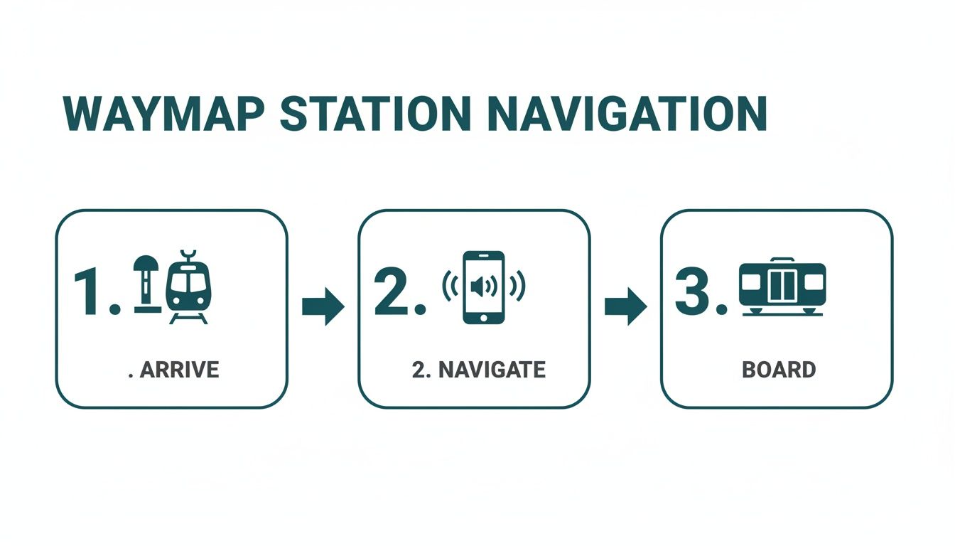
The idea is to get you from the station entrance, through the crowds and ticket barriers, and right to your platform without any guesswork.
By combining the big-picture view of your journey with detailed, real-time support on the ground, you’re essentially building a complete travel plan. This approach takes the uncertainty out of the equation and lets you move through busy public spaces with confidence.
This level of planning is a huge help for anyone who finds busy stations a bit overwhelming, from parents juggling strollers to travelers with specific accessibility needs. When you blend a high-level map with smart travel habits, you're setting yourself up for a journey that's as smooth as it can possibly be.
Answering Your C2C Map and Accessibility Questions
Getting familiar with a new train network always brings up a few questions. We’ve put together answers to some of the most common queries we hear about using the c2c trains map and planning an accessible trip.
Where Can I Find an Official C2C Trains Map?
Your best source for the most up-to-date C2C trains map is the official C2C rail website or their mobile app. These digital maps are often interactive, giving you live service updates right when you need them.
You can also still find physical maps at major C2C stations, like Fenchurch Street and Barking, if you prefer having one in your hands.
Are All C2C Stations Fully Accessible?
Accessibility can vary across the network. While C2C has been making steady improvements, not every single station has complete step-free access just yet.
It’s absolutely vital to check the specific facilities for both your departure and arrival stations before you travel. The National Rail or C2C websites are the best places to look for this information.
It's also worth remembering that "step-free" can mean different things. It could be a simple elevator, or it could be a long ramp. For navigating the specific accessible route inside the station, that's where advanced audio tools like Waymap can provide a real advantage with step-by-step guidance.
How Do I Plan a Journey from the London Underground to a C2C Train?
For planning the big picture, a journey planner like Citymapper or Google Maps is perfect. They’ll show you all the integrated transport options in one place.
You’ll want to pay close attention to the key interchange stations where the Tube network meets the C2C line. The main ones are:
- West Ham (connects with the Jubilee, District, Hammersmith & City lines, and the DLR)
- Barking (connects with the District and Hammersmith & City lines, and the London Overground)
- Fenchurch Street (just a short walk from Tower Hill for the District and Circle lines)
Getting to the interchange is one thing; making the connection through the crowds and confusing signs is often the real hurdle. This is where a static map falls short. For the transfer itself, step-accurate navigation provides audio directions that talk you through the station, from the Underground platform right to your C2C train, taking the stress out of finding your way.
Ready to experience travel that’s genuinely seamless from the station door to the platform edge? Waymap delivers precise, step-by-step audio navigation that works anywhere, even deep underground, without needing GPS or Wi-Fi. Download the app today and make your next journey your easiest one yet. Learn more at Waymap.